
Country United States GNIS feature ID 453627 Local time Wednesday 1:59 PM | FIPS code 18-49392 Elevation 211 m Population 1,406 (2010) | |
 | ||
Weather 3°C, Wind NE at 16 km/h, 45% Humidity Area 111.2 km² (110.6 km² Land / 62 ha Water) | ||
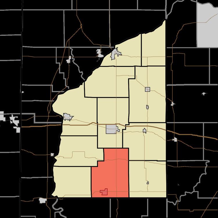
Millcreek Township is one of eleven townships in Fountain County, Indiana, United States. As of the 2010 census, its population was 1,406 and it contained 815 housing units.
Contents
Map of Millcreek Township, IN, USA
History
The Clinton F. Hesler Farm was listed on the National Register of Historic Places in 1989.
Geography
According to the 2010 census, the township has a total area of 42.94 square miles (111.2 km2), of which 42.71 square miles (110.6 km2) (or 99.46%) is land and 0.24 square miles (0.62 km2) (or 0.56%) is water. It contains the town of Kingman in the southwest along Indiana State Road 234. The unincorporated community of Centennial, with its cemetery of the same name, lies to the northeast on U.S. Route 41; further north, at the intersection with Indiana State Road 32, lies Steam Corner. Harveysburg is north of Kingman and Yeddo is west of Centennial.