
Country Canada Time zone MST (UTC-7) Area 365.8 km² | Elevation 1,185 m Local time Wednesday 11:42 AM | |
 | ||
Municipal district M.D. of Foothills No. 31 Weather 10°C, Wind SW at 14 km/h, 47% Humidity | ||
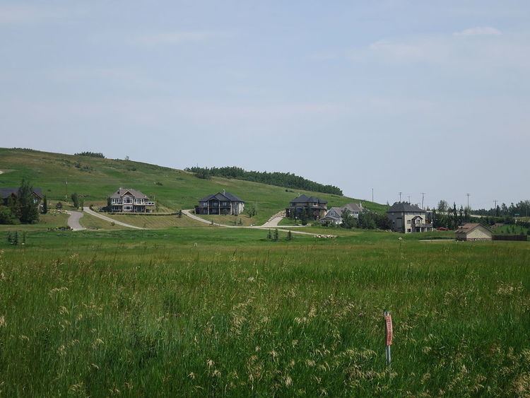
Millarville is a hamlet in Alberta, Canada within the Municipal District of Foothills No. 31. It is located in the foothills of the Canadian Rockies at an elevation of 1,185 metres (3,888 ft). The hamlet is located northwest of the intersection of the Cowboy Trail (Highway 22) and Highway 549, approximately 11 kilometres (6.8 mi) north of Turner Valley and 35 kilometres (22 mi) southwest of Calgary's city limits. The hamlet consists of residential, commercial and environmental reserve parcels. Millarville Community School is located in the hamlet. The school includes a kindergarten program through to grade eight.
Contents
Map of Millarville, AB, Canada
The hamlet is within census division No. 6 and in the federal riding of Macleod.
The post office first opened in April 1892.
Demographics
Statistics Canada has not recently published a population for Millarville.
However, Industry Canada shows that Millarville's greater rural area had a total population of 1,949 living in 819 dwellings in 2001. With a land area of 365.8 km2 (141.2 sq mi), its greater rural area has a population density of 6.0/km2 (16/sq mi).
Attractions
Millarville shares its name with the Millarville Market and Fair. Founded in 1907, the market and fair are hosted by the Millarville Racing and Agricultural Society on land northeast of the hamlet, 1.6 kilometers east down Highway 549, east. (MRAS).
The Leighton Art Centre includes a gallery of Alberta art and the museum home of founders and artists A.C. and Barbara Leighton. There is also a gallery shop of art and handcrafts.