
Elevation 2,650 ft (810 m) | Country United States | |
 | ||
Parent ranges Appalachian Mountains, Ridge-and-Valley Appalachians | ||
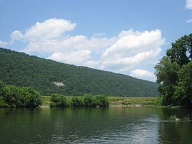
Mill Creek Mountain is a continuous mountain ridge that runs northeast through Hampshire and Hardy counties in the Eastern Panhandle region of the U.S. state of West Virginia. Rising to its greatest elevation of 2,650 feet (808 m) at High Knob, Mill Creek is a folded mountain ridge, belonging to the Ridge-and-Valley Appalachians. Mill Creek Mountain forms the western edge of the South Branch Potomac River Valley and is named for Mill Creek that carves through it at Mechanicsburg Gap allowing the Northwestern Turnpike (U.S. Route 50) to pass through as well. Along with Sawmill Ridge (1,716 feet/523 m), Mill Creek Mountain forms the Trough along the South Branch.
Contents
Map of Mill Creek Mountain, Romney, WV 26757, USA
Hanging Rocks at Wappocomo, south of Springfield, are located on the northern edge of the gap in Mill Creek Mountain formed by the South Branch.
Summits and KnobsEdit
Although Mill Creek Mountain is a continuous mountain ridge, it is made up of a number of summits and knobs with individual names. These are listed from south to north.