
Active 1942-1945 Role Terrain Intelligence | Country United States | |
 | ||
The Military Geology Unit was a unit in the United States military during World War II. It was established on June 24, 1942, six months after Pearl Harbor. People in the US Geological Survey wanted to get involved in the war effort, either for patriotism or prestige or both, and provided a geological intelligence report for a randomly chosen country, Sierra Leone. The Sierra Leone report described the terrain, locations of water supplies and road-building materials, and other facts useful for military operations. The US military bought the idea and so the Military Geological Unit was formed, starting out with six people but quickly expanding.
Contents
The USGS continued to operate a Military Geology Unit through 1975, providing the US Department of Defense with research and documentation necessary for military operations.
Staff
The entire Military Geology Unit wartime roster was 88 geologists, 11 soil scientists, 6 bibliographers, 5 engineers, three editors, one forester and 43 assisting staff. Most of the reports prepared by the Unit were prepared by teams made up mainly of geologists but commonly included soils scientists, botanists, climatologists, ad geographers. Nearly all of the soils scientists and climatologists were members of the US Department of Agriculture's Soil Conservation Service.
"During World War II geology won its spurs as an important tool in both planning and operations in the US Army. This growth of geology was due to the increased appreciation on the part of our military leaders of the importance of scientific techniques and information, and to the increased appreciation on the part of our scientists of the usefullness of their abilities in the solution of a large variety of very practical problems."
Normandy Invasion
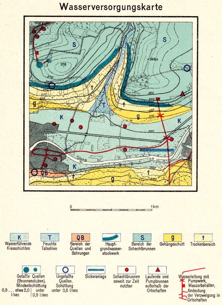
The geological conditions of the Normandy beaches for the Invasion of Normandy were investigated by the American and British MGU. Some of the civilian scientists were sent ashore months before the invasion. "...civilian scientists, not all of them young or signally muscled, landed on the beaches... wriggling along on their bellies, within range of German guns, they obtained samples of sand soil so when the tanks and trucks bustled ashore the drivers would be prepared for the terrain the equipment would be on hand to bridge the worst spots." Research in 17th and 18th century French geological reports showed the land had clay underneath the sand which would bog down tanks and other vehicles. To find out the truth, geologists went ashore before the invasions with boring tools to find out if the old reports were correct, and special equipment was developed to overcome the problem. For the invasion, large scale maps, in three editions, of the Normandy beach conditions of 1:5,000 were printed in great secrecy, with each map numbered for controlled use. Few copies of these maps survived the war. Other maps were prepared to show the best areas suitable for building airfields, and of water supply locations.
Origin of Balloon Bombs
The Military Geology Unit was key in determining the origin of Japanese balloon bombs. Working with Colonel Sidman Poole of US Army Intelligence, the researchers of the Military Geological Unit began microscopic and chemical examination of the sand from the sandbags to determine types and distribution of diatoms and other microscopic sea creatures, and its mineral composition. The sand could not be coming from American beaches, nor from the mid-Pacific. It had to be coming from Japan. Ultimately the geologists determined the precise beaches in Japan the sand had been taken from. By this time, it was mostly irrelevant, since by early spring the balloon offensive was almost over.
Planetary Geology
A number of reports were produced by the Military Geologists covering the moon, including the first photogeologic map of the near side.
Permafrost
Under the aegis of the Military Geology Unit, some of the earliest research and documentation on permafrost was published in English. Research on the topic had only been previously published in Russian.