
Time zone CAT (UTC+2) Population 43,649 (2010) | Area 6,261 km² | |
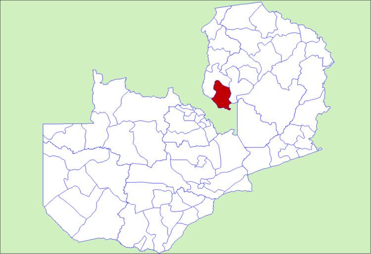 | ||
Milenge District with headquarters at Milenge, Zambia is the most southerly district in the Luapula Province and was carved out of Mansa District. As of the 2000 Zambian Census, the district had a population of 28,790 people.It is rural and undeveloped, lacking roads and infrastructure. Its southern boundary is the Luapula River which divides it from DR Congo and the district lies roughly between the Chembe Ferry to Mansa road in the west and the Kapalala Ferry to Samfya road in the east. A single dirt road runs through the central part of the district from Chembe in the west following the north-west bank of the Lwela River, passing through Milenge Boma, Milambo and Lwela Mission, eventually connecting to the provincial capital, Mansa in the north-west. Most of the population of the district lives along the shallow valley of the Lwela River. The district is gently undulating flat plateau with an elevation of about 1200 m, consisting of woodland and wooded grassland interspersed with dambos.