
Country England | UK-OSNG reference NY11885520 | |
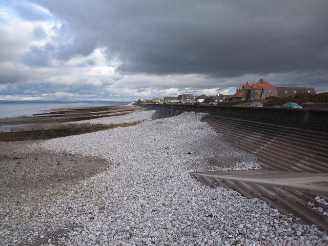 | ||
Milefortlet 10 (East Cote) is conjectured to have been a Milefortlet of the Roman Cumbrian Coast defences, however no physical evidence exists to positively prove its existence. The site was identified based on measurement from other Hadrianic defensive structures on the Cumbria coast. These defences were contemporary with defensive structures on Hadrian's Wall.
Contents
Construction
Nothing is known of the construction details for Milefortlet 10. It is possible that the remains were lost to coastal erosion following the 1855 construction of the pier at Silloth.
Excavations and investigations
Associated Towers
Each milefortlet had two associated towers, similar in construction to the turrets built along Hadrian's Wall. These towers were positioned approximately one-third and two-thirds of a Roman mile to the west of the Milefortlet, and would probably have been manned by part of the nearest Milefortlet's garrison. The towers associated with Milefortlet 10 are known as Tower 10A and Tower 10B.
Tower 10A
Tower 10A has never been located. The position is conjectured based on measurement from known Milefortlets and towers. The site (adjacent to Skinburness Drive) has been built on, and no evidence of a structure exists.
Measured location of site: 54.879714°N 3.378797°W / 54.879714; -3.378797 (Tower 10A)
Tower 10B
Tower 10B has never been located. The position is conjectured based on measurement from known Milefortlets and towers. An English Heritage Field Investigation in 1993 noted that the site was located beneath private gardens and that no trace of a structure could be seen on the ground.
Measured location of site: 54.875808°N 3.382404°W / 54.875808; -3.382404 (Tower 10B)