
OS grid reference NY90317054 | ||
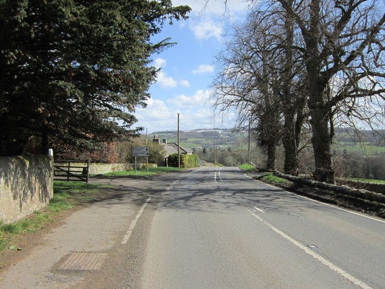 | ||
Milecastle 28 (Walwick) was a milecastle of the Roman Hadrian's Wall in England. No remains are currently visible. Its location is immediately to the south of the B6318 Military Road in Walwick.
Contents
Construction
Milecastle 28 was probably a long-axis milecastle, though the gateway type cannot be identified. Such milecastles were thought to have been constructed by the legio VI Victrix who were based in Eboracum (York), or by the legio XX Valeria Victrix who were based in Deva Victrix (Chester).
Excavations and investigations
Associated Turrets
Each milecastle on Hadrian's Wall had two associated turret structures. These turrets were positioned approximately one-third and two-thirds of a Roman mile to the west of the Milecastle, and would probably have been manned by part of the milecastle's garrison. The turrets associated with Milecastle 28 are known as Turret 28A and Turret 28B.
Turret 28A
There are currently no visible remains of Turret 28A. It was first described in 1727 by Alexander Gordon in Iter Septentrionale, stating that it was
It was relocated in 1920 about 300 yards (270 m) west of Walwick Hall.
Location on Ordnance Survey 1:25 000 map: 55.031035°N 2.160512°W / 55.031035; -2.160512 (Turret 28A)
Turret 28B
Turret 28B is located the normal distance between Turret 28A and Milecastle 29. The site (identified by English heritage Field Investigation in 1965) is marked by slight traces of protruding stonework. The stones were barely discernible, but appeared to outline a structure measuring approximately 4.0 metres (13.1 ft) North-South, and 5.0 metres (16.4 ft) East-West.
Location on Ordnance Survey 1:25 000 map: 55.032660°N 2.167699°W / 55.032660; -2.167699 (Turret 28B)
Public Access
The sites of Milecastle 28 and Turret 28A are not publicly accessible. The site of Turret 28B lies just off the Hadrian's Wall National Trail.