
OS grid reference NZ00436851 | ||
 | ||
Similar Milecastle 19, Milecastle 22, Milecastle 18, Milecastle 20, Milecastle 16 | ||
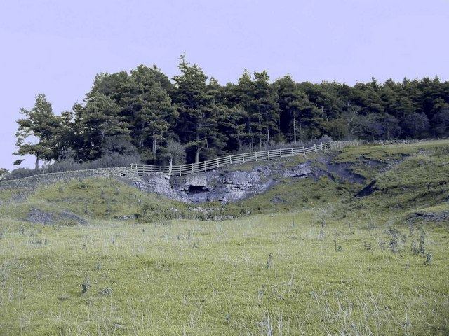
Milecastle 21 (Down Hill) was a milecastle of the Roman Hadrian's Wall. The site was identified by measurement only, as the milecastle's remains have been totally removed. This is probably due to extensive quarrying at the site, which now lies under pasture (and partly beneath the Military Road).
Contents
Construction
No details of the Milecastle's construction have been identified.
Excavations and investigations
Associated Turrets
Each milecastle on Hadrian's Wall had two associated turret structures. These turrets were positioned approximately one-third and two-thirds of a Roman mile to the west of the Milecastle, and would probably have been manned by part of the milecastle's garrison. The turrets associated with Milecastle 21 are known as Turret 21A and Turret 21B.
Turret 21A
Turret 21A (Red House) is probably located 73 metres (80 yd) to the east of the east wall of Onnum, though some doubt has been expressed by an English Heritage field investigation. Its remains lie under the modern road.
Location on Ordnance Survey 1:25 000 map: 55.010895°N 2.003081°W / 55.010895; -2.003081 (Turret 21A)
Turret 21B
Turret 21B (Fence Burn) is probably located partly beneath the military road, though the exact location has been speculated due to the presence of a small mound along with dark soil and pottery discovered in 1930.
Location on Ordnance Survey 1:25 000 map: 54.993672°N 1.736733°W / 54.993672; -1.736733 (Turret 21B)