
Population c. 10,300 Unitary authority Country England Dialling code 01273 Post town Brighton | OS grid reference TQ255065 Region South East Sovereign state United Kingdom Ceremonial county East Sussex UK parliament constituency Hove | |
 | ||
All aboard the mile oak science bus
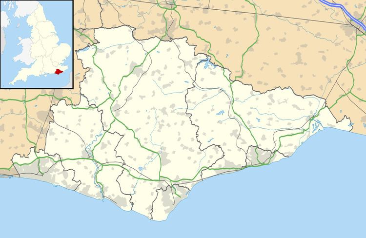
Mile Oak is a locality forming the northern part of the former parish of Portslade in the north-west corner of the city of Brighton and Hove, England.
Contents
- All aboard the mile oak science bus
- Mile oak news piece 26 august 2016 murdered girl
- Sport and leisure
- References
Mile Oak is on the edge of the South Downs and as such has much farmland nearby; the Monarch's Way and Sussex Border Path long-distance footpaths skirt the edge of the built-up area. The first urban development occurred 1935 after the First World War, and the area grew substantially in the 1960s when Copperas Gap dockside dwellings were demolished. The inhabitants were rehoused to the area north of Portslade old village. Since the 1980s, Mile Oak has been intersected by the A27 dual carriageway, which has somewhat cut off the community from the rural surroundings.
The Portslade Aldridge Community Academy is located at Chalky Road in Portslade, and houses a public library. Other local amenities include The Mile Oak Inn public house and Mile Oak Farm.
Mile oak news piece 26 august 2016 murdered girl
Sport and leisure
In 2007, Mile Oak Wanderers were formed. They provide youth football for the boys and girls within the local community. Within a relatively short period of time, the club has grown from having one team of 14 children, to one of the largest and most successful youth football clubs in Sussex.
Southwick Hockey club play their home matches on the Astro-turf at Portslade Community College, situated on Chalky Road