
Country United States ZIP codes 42070 Elevation 147 m | Time zone Central (CST) (UTC-6) GNIS feature ID 498175 Local time Wednesday 4:35 AM | |
 | ||
Weather 8°C, Wind N at 16 km/h, 64% Humidity | ||
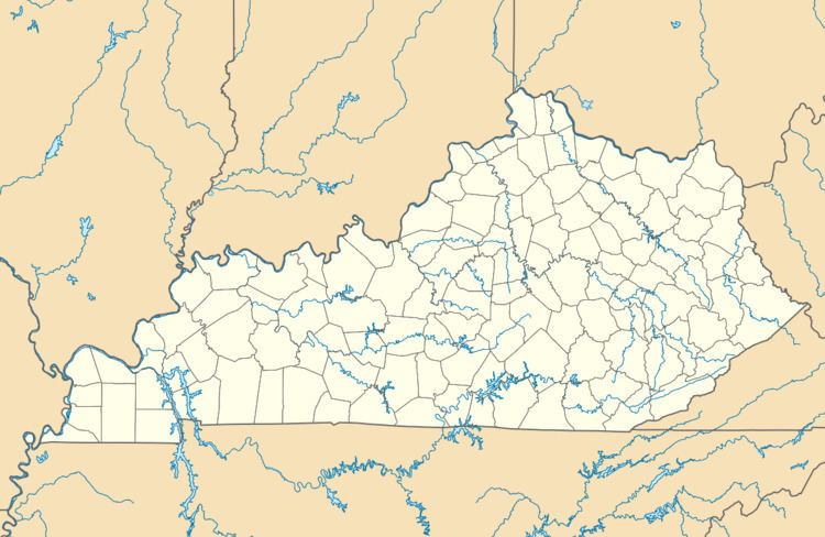
Milburn is an unincorporated community in Carlisle County, Kentucky, United States. Its elevation is 482 feet (147 m), and it is located at 36°47′55″N 88°53′59″W (36.7986679, -88.8997817). Located along Kentucky Route 80 at its junction with Kentucky Routes 1371 and 1377, Milburn lies amid rolling countryside at the headwaters of Guess Creek, a tributary of Bayou du Chien; the nearest point on the Mississippi River is approximately 12 miles (19 km) to the west. Nearby cities include Arlington, 6 miles (9.7 km) by air to the west, and Bardwell, 8 miles (13 km) by air to the northwest; Milburn is connected to them by Kentucky Route 80 and Kentucky Route 1377 respectively. A state hunting preserve, the Obion Creek Wildlife Management Area, lies 2 miles (3.2 km) to the south. A fire station is located in Milburn, and a Creole cottage in the community, the George W. Stone House, is listed on the National Register of Historic Places.