
Car plates SMI | Area 231.5 km² | |
 | ||
Points of interest Śląski Ogród Botaniczn, Muzeum Energetyki w Łaziska, Hałda Skalny, Park, Polski Schron Bojowy O | ||
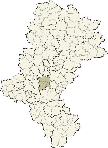
Mikołów County (Polish: powiat mikołowski) is a unit of territorial administration and local government (powiat) in Silesian Voivodeship, southern Poland. It came into being on January 1, 1999, as a result of the Polish local government reforms passed in 1998. Its administrative seat and largest town is Mikołów, which lies 12 kilometres (7 mi) south-west of the regional capital Katowice. The county also contains the towns of Łaziska Górne, lying 5 km (3 mi) south-west of Mikołów, and Orzesze, 11 km (7 mi) west of Mikołów.
Contents
Map of Miko%C5%82%C3%B3w County, Poland
The county covers an area of 231.53 square kilometres (89.4 sq mi). As of 2006 its total population is 91,022, out of which the population of Mikołów is 38,392, that of Łaziska Górne is 21,906, that of Orzesze is 18,830, and the rural population is 11,894.
Neighbouring counties
Mikołów County is bordered by the city of Ruda Śląska to the north, Katowice and Tychy to the east, Pszczyna County and Żory to the south, Rybnik County to the west and Gliwice County to the north-west.
Administrative division
The county is subdivided into five gminas (three urban and two rural). These are listed in the following table, in descending order of population.