
Vehicle registration MP Population 14,799 (2001) ISO 3166 code ISO 3166-2:IN | Time zone IST (UTC+5:30) Elevation 154 m Local time Wednesday 7:59 AM | |
 | ||
Weather 22°C, Wind W at 3 km/h, 47% Humidity | ||
Mihona is a town and a nagar panchayat in Bhind district in the Indian state of Madhya Pradesh.
Contents
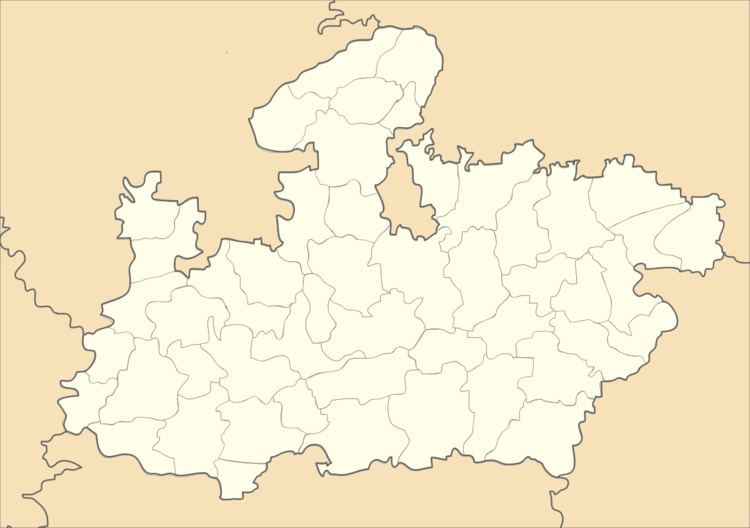
Map of Mihona, Madhya Pradesh 477441
Geography
Mihona is located at 26.28°N 78.98°E / 26.28; 78.98. It has an average elevation of 154 metres (505 feet).
Demographics
As of 2001 India census, Mihona had a population of 14,799. Males constitute 53% of the population and females 47%. Mihona has an average literacy rate of 65%, higher than the national average of 59.5%: male literacy is 74%, and female literacy is 55%. In Mihona, 15% of the population is under 6 years of age and many pesons are good position in different areas in this town.
Administration
The civic administration of the town is managed by the Mihona Nagar Panchayat and the town is divided into 15 wards.
References
Mihona Wikipedia(Text) CC BY-SA