
Country Canada Regional district Kootenay-Boundary Incorporated 1967 Elevation 578 m Population 621 (2006) Local time Tuesday 1:27 PM | Founded 1893 Time zone PST (UTC-8) Area 12.16 km² Number of airports 1 | |
 | ||
Weather 4°C, Wind NE at 6 km/h, 85% Humidity | ||
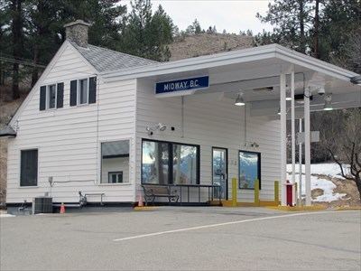
Midway is a village located in southern British Columbia in the West Kootenay region. It is located 13 km west of Greenwood and 51 km east of Osoyoos along Highway 3.
Contents
Map of Midway, BC, Canada
History
Originally known as Boundary City, the land was purchased by the Midway Town site Company. The Company divided the land into lots and sold each for about $100. The name was changed by the owner, RC Adams, a few years later.
A year after its establishment, an elementary school was built.
The town was slowly populated. During mining booms in the 1890s, the population reached up to 6000. Midway also expanded in 1899 with the arrival of the Canadian Pacific Railway, making it a centre point for the distribution of ore.
Government
Midway's local government consists of a mayor and four councillors elected to four year terms. The current mayor is Randy Kappes. The councillors are Dick Dunsdon, Martin Fromme, Marguerite Rotvold and Gary Schierbeck. James McMynn, Midway's first Mayor, was the longest serving mayor in Canada, retiring after 38 years.
Representation for school board is elected to School District 51 Boundary which is based in Grand Forks. It operates two schools in Midway; Boundary Central Secondary School and Midway Elementary School.
Local Attractions
Midway is Mile Zero of the Kettle Valley Rail Trail, a popular wilderness cycling trail which follows the rail bed of the old Kettle Valley Railroad. At the trail's start, the Village of Midway operates the Kettle Valley Museum which highlights the life of early Boundary Country settlers. Notable museum features include a windmill from the Bubar farm that was originally purchased from the T. Eaton Co.
Construction of a bunk house has been started. When complete, the bunkhouse will offer accommodations for cyclists using the trail.
The Midway Curling Club is a popular destination for Boundary Area curlers. A hockey rink next door is popular with local youth. The curling rink is home to the Boundary District Curling Club Across the street from the curling rink and arena is McMynn park, a large green space which hosts many ball tournaments and picnics.
Adjacent to the Boundary Central Secondary School is a park in which two trees have grown together after being entwined together when the village was young. The trees were joined together by Sinixt people as a symbol of the International Boundary Line dividing their people and territory. A plaque at the site reads: When the International Boundary Line was being surveyed in 1857-1861, the major portion of the large Indian band then living in this area then moved to the reservation in Colville, Washington. One of the Indians entwined two saplings, saying "Though divided we are united still - We are one."
Tubing the Kettle River is a popular summer activity, and the village maintains a stock of inner tubes at Frank Carpenter Memorial Park. The park is also a local campground, and is particularly popular with rv owners traveling through.
Midway features a grass airstrip known as Midway Aerodrome which is suitable for small planes. Hangars were added in 2005 to the airstrip. Plans exist for a paved runway, but the completion date is uncertain at this point.
Midway is also a host to ever growing music festival, named The Groove Music Festival.
Television
Midway was featured on the historical television series Gold Trails and Ghost Towns, Season 3, Episode 11.