
Country Canada Regional district Kootenay Boundary Time zone PST (UTC-8) Elevation 770 m Population 665 (2016) Local time Thursday 9:27 PM | Incorporated 1897 Zip code V0H 1J0 Area 252 ha Area code 250 | |
 | ||
Weather -2°C, Wind NE at 0 km/h, 100% Humidity | ||
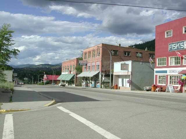
Greenwood (2011 population 708) is a city in south central British Columbia. It was incorporated in 1897 and was formerly one of the principal cities of the Boundary Country smelting and mining district. It was incorporated as a city originally and has retained that title despite the population decline following the closure of the area's industries.
Contents
Map of Greenwood, BC, Canada
The town is served by Greenwood Elementary School which covers grades from 4-7. Students attend Midway Elementary School for grades from K-3. Following grade 7 local students attend Boundary Central Secondary School in nearby Midway.
In 1942, 1200 Japanese Canadians were sent to Greenwood as part of the Japanese Canadian internment.
History
In 1886 several mining claims had been staked in a narrow gulch ten miles north of the mouth of Boundary Creek. The ore was high in copper. Ten years later more claims had been staked in the area. These claims gave rise to the city of Greenwood. In 1895 a merchant named Robert Wood erected a log store and named the region Greenwood. By 1896 there were three hotels, a general store, a livery stable, two assay offices, a mining broker, an opera house, and a dozen other establishments. Greenwood became an incorporated city in 1897. The population climbed to 3,000 by 1899 and a railway called the Columbia and Western Railway reached Greenwood from the east. In 1899 a fire struck Greenwood which gutted several businesses.
The BC Copper Company smelter began operation in 1901, servicing ore from the Mother Lode Mine and other mines in the area. Greenwood was the supply center for surrounding camps such as Providence, Copper, Deadwood, Wellington, Central, Skylark and others. The city became the seat of government for the Boundary with one hundred firms in the business district. Greenwood had a newspaper called the "Times" by 1906 another paper called the "Greenwood Ledge". By 1910 the boom had passed and Greenwood's population was 1,500. At the end of World War I, the demand for copper dropped, and by 1918 the copper market was dead,and the smelter in Greenwood lay idle. The following year it closed down permanently. The collapse of the smelters led to close of mines around the vicinity of Greenwood. Greenwood was on the decline after this period.
Television and media
Greenwood was featured on the historical television series Gold Trails and Ghost Towns, Season 2, Episode 1.
Greenwood was one of the filming locations for the theatrical film Snow Falling on Cedars.
Lost mines
Close to Greenwood is the location of Jolly Jack's Lost Mine. Local historian Bill Barlee wrote about Jolly Jack's lost mine. The location of the mine was never found. The Greenwood local museum has written records of Jolly Jack.
Henry Morgan's lost mine is located somewhere around Greenwood. The mine is thought to have been at the headwaters of Boundary Creek, although it has never been found. Local historian Garnet Basque has written about Morgan's lost mine.