
OS grid reference SO295989 Post town MONTGOMERY Local time Tuesday 4:34 PM Civil parish Chirbury | Sovereign state United Kingdom Postcode district SY15 Dialling code 01938 | |
 | ||
Weather 3°C, Wind SW at 18 km/h, 95% Humidity | ||
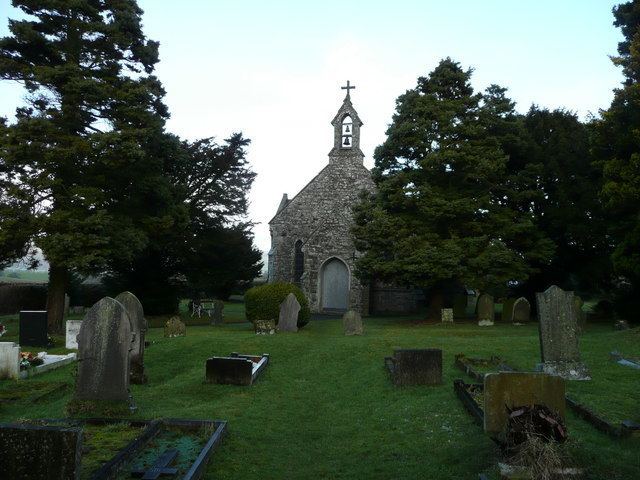
Middleton is a scattered settlement in Shropshire with a chapel (Holy Trinity) and a former schoolhouse. It was once much more populated but went into decline once mining ended in the area. It is situated in the civil parish of Chirbury with Brompton, in the west of the county.
Map of Middleton, Montgomery, UK
Middleton is a parish ward within that parish, returning 3 councillors. Historically it was a township of the hundred of Chirbury. The ecclesiastical parish is known as Middleton-in-Chirbury.
To the north is the hamlet of Rorrington, to the south the small village of Priestweston, both also in the parish of Chirbury with Brompton.
References
Middleton (near Chirbury) Wikipedia(Text) CC BY-SA