
River mouth 59 ft (18 m) | ||
 | ||
Progression | ||
Middlebush Brook is a tributary of Six Mile Run in Somerset County, New Jersey in the United States.
Contents
- Map of Middlebush Brook Franklin Township NJ USA
- Tributaries
- Course
- Accessibility
- Terrain
- Sister tributaries
- References
Map of Middlebush Brook, Franklin Township, NJ, USA
As its name suggests, Middlebush Brook begins in the town of Middlebush. Its source is at 40°29′21″N 74°30′41″W, just south of Hamilton Street in north-western Franklin Park.
Tributaries
This stream has several unnamed tributaries. One closely parallels South Middlebush Road before splitting into two more tributaries. One of them ends in a development near Amwell Road (the same road as Hamilton Street), while the other is a drain for a residential development.
Course
Middlebush Brook starts at 40°29′21″N 74°30′41″W in a commercial development. It exits the commerce area and flows through a marsh, then crossing Bennetts Lane. It runs behind a cow farm then crosses South Middlebush Road right above Blackwells Mills Road. It crosses Blackwells Mills Road a little later on, then drains into Six Mile Run at 40°28′21″N 74°33′02″W.
It has several branches, including one that runs for a distance along South Middlebush Road and one that flows to a residential development near CR-514 (Amwell Road).
Accessibility
This stream flows through wooded areas downstream, where it is not accessible easily. It is accessible upstream though, where it flows through a residential development.
It may be accessed, though with difficulty, at the Blackwells Mills Road crossing.
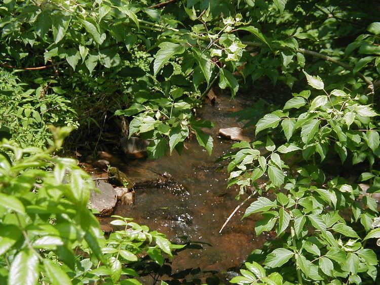
Terrain
This stream has a streambed composed of small boulders, making it difficult to walk on. Some locations have pebbles. It is not muddy and therefore is not suitable for frogs.