
Elevation 654 m | Topo map USGS Bread Loaf | |
 | ||
Range Appalachian Mountains, Green Mountains | ||
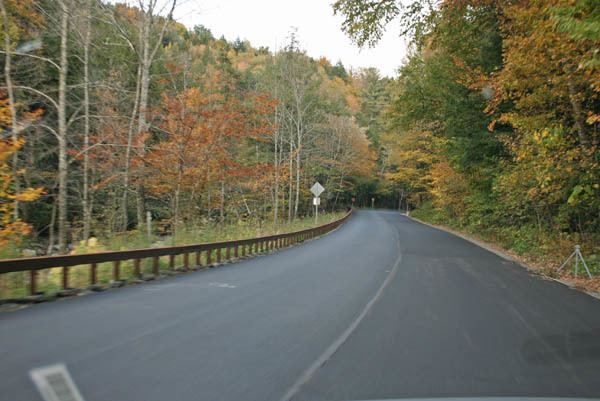
Middlebury Gap, is a mountain pass in the Green Mountains of Vermont. The height of land of the pass is located in Addison County.
Map of Middlebury Gap, Hancock, VT 05748, USA
On the southeast side of the height of land, the notch is drained by the Robbins Branch, thence into the Hancock Branch of the White River, which drains into the Connecticut River, and into Long Island Sound in Connecticut. To the northwest, the notch is the source of the South Branch of the Middlebury River, which drains into Otter Creek, and into Lake Champlain. Lake Champlain drains into the Richelieu River in Québec, thence into the Saint Lawrence River, and into the Gulf of Saint Lawrence.
The Long Trail, a 272-mile (438-km) hiking trail running the length of Vermont, crosses Middlebury Gap between 3,234-foot (986 m) Worth Mountain, 2 mi (3 km) to the south, and 3,323-foot (1,013 m) Boyce Mountain, 2.5 mi (4 km) to the north.
The Middlebury College Snow Bowl straddles the southern side of Middlebury Gap.