 | ||
Middle america trench
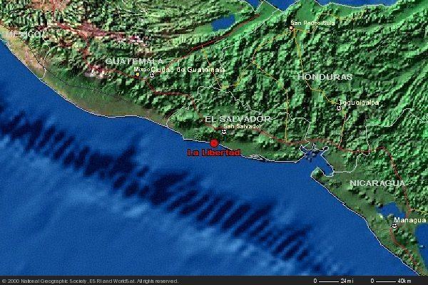
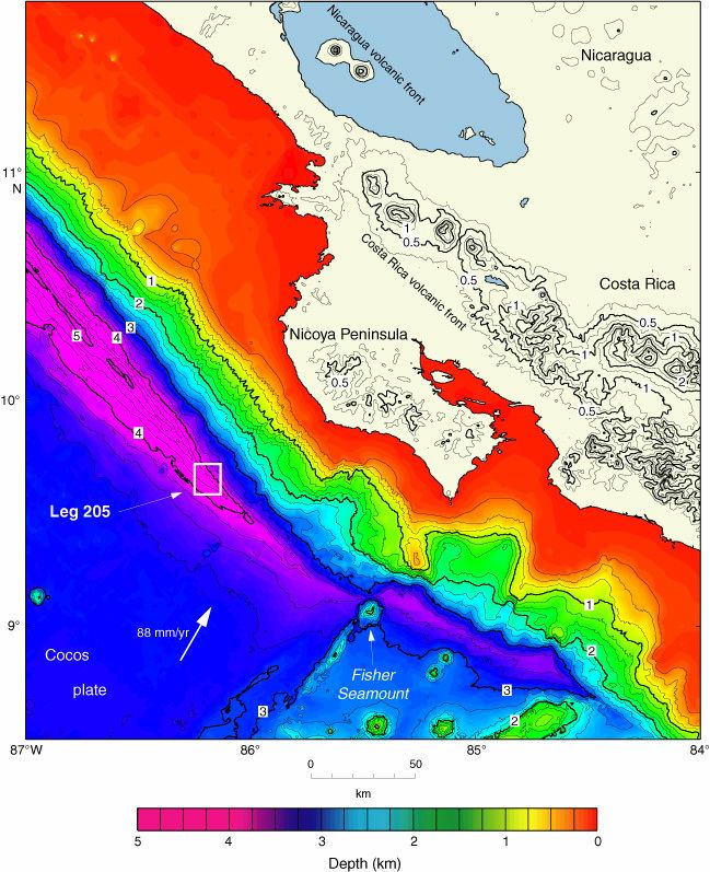
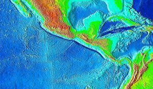
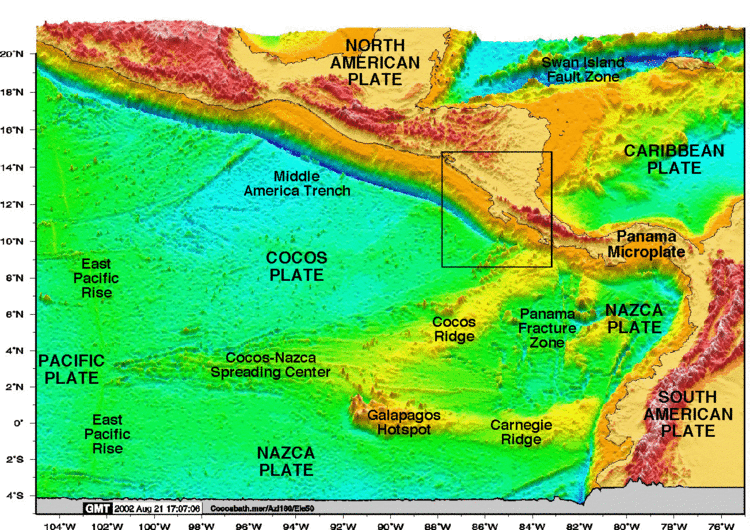
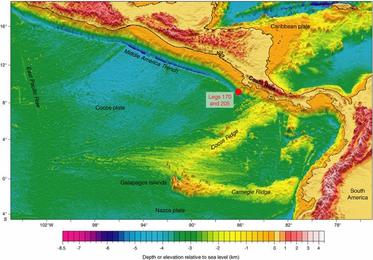
The Middle America Trench is a major subduction zone, an oceanic trench in the eastern Pacific Ocean off the southwestern coast of Middle America, stretching from central Mexico to Costa Rica. The trench is 1,700 miles (2,750 km) long and is 21,880 feet (6,669 m) at its deepest point. The trench is the boundary between the Rivera, Cocos, and Nazca plates, and the North American and Caribbean plates. It is currently the 18th deepest trench in the world. Many large earthquakes have occurred in the area of the Middle America Trench.
Contents
- Middle america trench
- Tsunamigenic sources in the middle america trench off central america
- References
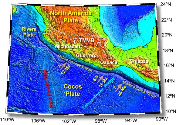
The Middle America Trench can be divided into a northern and a southern section. However, the division is not the same in its seaward side and its landward side. In the seaward side, the northern section, called the Acapulco Trench, runs from Jalisco to the Tehuantepec Ridge, and the southern section, called the Guatemala Trench, runs from the Tehuantepec Ridge to the Cocos Ridge. On the landward side, the division is demarcated along the Polochic-Motagua fault system (see Motagua Fault), the boundary between the North American Plate and the Caribbean Plate. The dividing point in the landward side is about 400 km east of that in the seaward side.
Tsunamigenic sources in the middle america trench off central america