
Time zone UTC-3 (UTC-3) Area 2,812 km² | Postal Code 15600-000 | |
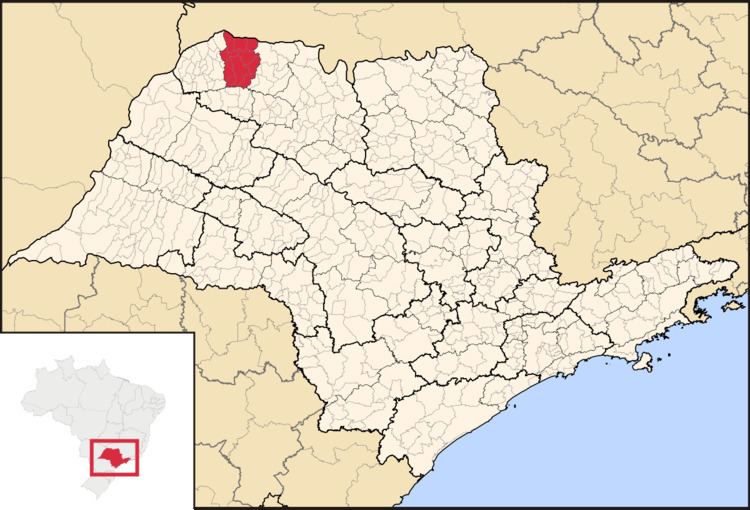 | ||
The Microregion of Fernandópolis (Portuguese: Microrregião de Fernandópolis) is located on the northwest of São Paulo state, Brazil, and is made up of 13 municipalities. It belongs to the Mesoregion of São José do Rio Preto.
Contents
Map of Fernand%C3%B3polis - State of S%C3%A3o Paulo, Brazil
The microregion has a population of 104,623 inhabitants, in an area of 2,811.7 km²
Municipalities
The microregion consists of the following municipalities, listed below with their 2010 Census populations (IBGE/2010):
References
Microregion of Fernandópolis Wikipedia(Text) CC BY-SA