
Time zone UTC-3 (UTC-3) Area 2,312 km² | Postal Code 15350-000 | |
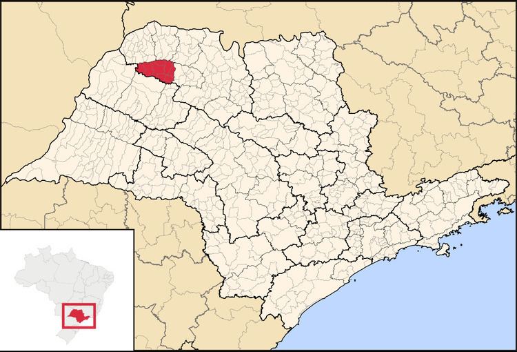 | ||
The Microregion of Auriflama (Portuguese: Microrregião de Auriflama) is located on the northwest of São Paulo state, Brazil, and is made up of 9 municipalities. It belongs to the Mesoregion of São José do Rio Preto.
Contents
Map of Auriflama - State of S%C3%A3o Paulo, Brazil
The microregion has a population of 46,367 inhabitants, in an area of 2,312.2 km²
Municipalities
The microregion consists of the following municipalities, listed below with their 2010 Census populations (IBGE/2010):
References
Microregion of Auriflama Wikipedia(Text) CC BY-SA