
Type Road Major cities Melbourne | Length 22 km | |
 | ||
Route number(s) State Route 39
(Airport West - Greenvale)
State Route 48
(Gladstone Park - Attwood)
C739
(Greenvale - Kalkallo) South end Melrose Drive,
Airport West, Melbourne North end Donnybrook Road,
Kalkallo, Victoria Major suburbs Attwood, Greenvale, Yuroke, Mickleham Via Attwood, Greenvale, Yuroke, Mickleham | ||
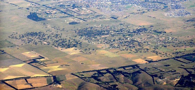
Mickleham Road is a secondary road located in Victoria, Australia, north of Melbourne.
Contents
Map of Mickleham Rd, Victoria, Australia
Route
Mickleham Road begins at an intersection with Melrose Drive and Broadmeadows Road in Tullamarine, and continues north through the suburbs of Gladstone Park, Westmeadows, Attwood, Greenvale, Yuroke and Mickleham. At the intersection with Donnybrook Road in Mickleham it becomes the Old Sydney Road, which continues north to Wallan. Sections of Old Sydney Road are unsealed.
Major intersections
Major intersections of Mickleham Road/ Old Sydney Road from south to north include:
References
Mickleham Road, Melbourne Wikipedia(Text) CC BY-SA