
Rural localities 82 | selsoviet 14 Area 1,655 km² | |
 | ||
Municipally incorporated as | ||
Michurinsky District (Russian: Мичу́ринский райо́н) is an administrative and municipal district (raion), one of the twenty-three in Tambov Oblast, Russia. It is located in the northwest of the oblast. The district borders with Pervomaysky District in the north, Nikiforovsky District in the east, Petrovsky District in the south, and with Dobrovsky District of Lipetsk Oblast in the west. The area of the district is 1,655.25 square kilometers (639.10 sq mi). Its administrative center is the town of Michurinsk (which is not administratively a part of the district). Population: 34,245 (2010 Census); 35,196 (2002 Census); 39,224 (1989 Census).
Contents
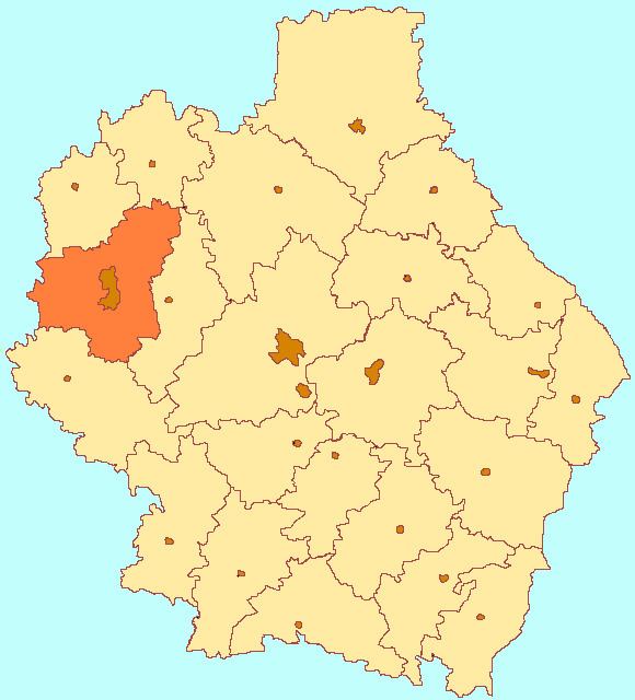
Map of Michurinsky District, Tambov Oblast, Russia
Administrative and municipal status
Within the framework of administrative divisions, Michurinsky District is one of the twenty-three in the oblast. The town of Michurinsk serves as its administrative center, despite being incorporated separately as a town of oblast significance—an administrative unit with the status equal to that of the districts.
As a municipal division, the district is incorporated as Michurinsky Municipal District. The town of oblast significance of Michurinsk is incorporated separately from the district as Michurinsk Urban Okrug.