Time zone CET/CEST (UTC+1/+2) Area 68.51 km² Local time Tuesday 2:28 AM Dialling code 033205 | Elevation 45 m (148 ft) Postal codes 14552 Population 11,614 (31 Dec 2008) Postal code 14552 | |
 | ||
Weather 11°C, Wind SW at 21 km/h, 72% Humidity | ||
Michendorf is a municipality in the Potsdam-Mittelmark district, in Brandenburg, Germany.
Contents
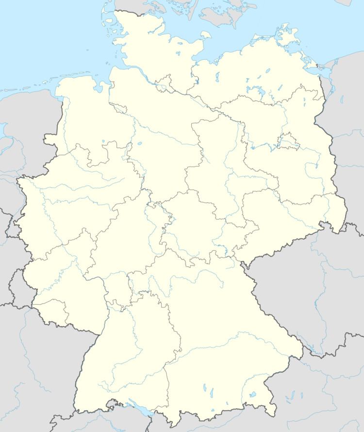
Map of 14552 Michendorf, Germany
Geography
Michendorf lies in a vast wooded area about nine kilometers south of Potsdam. The civil parishes ("Ortsteile") Fresdorf, Stücken and Wildenbruch lie in the Nature-Park Nuthe-Nieplitz. In the south the town adjacent to the Great Seddiner Lake and to the west by the Lienewitzer lakes.
The municipality is composed by Michendorf itself and 5 civil parishes. Statistics of population are as of December 31, 2011:
Detailed data sources are to be found in the Wikimedia Commons.
History
During the Division of Germany (1945–90), Michendorf was in East Germany, although only a few kilometers from West Berlin. The Michendorf rest stop was the last stop in East Germany for travelers driving into West Berlin, and a popular spot for East and West Germans to meet up with friends and family who lived on the other side of the Berlin Wall. Despite efforts by the Michendorf historical society, the rest stop was demolished in 2008.
