
Architect Unknown Designated NHL January 29, 1964 Year built 1825 | NRHP Reference # 66000603 Area 8,094 m² Added to NRHP 15 October 1966 | |
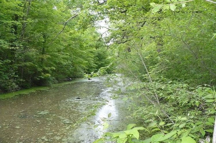 | ||
The Miami and Erie Canal Deep Cut is a preserved, 6,600 feet (2,000 m) long, segment of the Miami and Erie Canal, United States. In order to avoid using locks to go over a ridge, the canal was dug deeply into the ridge, far more than the 5-foot (1.5 m) depth of the canal itself. Workers dug the canal bed up to 52 feet (16 m) into the blue clay ridge that separated the St. Marys and Auglaize River watersheds. It is a United States National Historic Landmark.
The Miami and Erie Canal was one of Ohio's two major artificial waterways. The canal stretched from Cincinnati to Toledo, by way of Dayton; the canal brought settlers into western Ohio and provided access to markets for farmers. The advent of railroads rendered the canal system obsolete.
The Deep Cut is located two miles (3 km) south of Spencerville on State Route 66. It was declared a National Historic Landmark in 1964. The boundaries of the National Historic Landmark area are State Route 66, Mendon Road, Route 66A, and Henne Road, spanning the Allen/Auglaize county line.
Deep Cut Historical Park
Part of the canal bed is preserved in Deep Cut Historical Park just outside Spencerville, Ohio.