
Basin area 4,209 km² Basin area 4,209 km² | Length 100 km Source elevation 1,519 m | |
 | ||
Similar Goedertrouw Dam, Enseleni Nature Reserve, Umlalazi Nature Reserve, Pongolapoort Dam, Zaaihoek Dam | ||
The Mhlathuze River (Afrikaans: Mhlatuzerivier) is a river in South Africa. Located in KwaZulu-Natal, its catchment area has a surface area of 4,209 km2. It rises in the west in the Babanango hills at an altitude of 1,519 m and flows over 100 km eastwards to the sea forming an estuary. The deep-sea port of Richards Bay is situated at the mouth of the Mhlathuze River and all industrial development is focused within the Empangeni / Richards Bay complex.
Contents
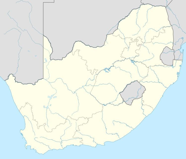
Map of Mhlatuze, South Africa
Dams
References
Mhlathuze River Wikipedia(Text) CC BY-SA