Coat of arms Flag Urban okrug Mezhgorye Urban Okrug | Country Russia Local time Monday 6:09 PM | |
 | ||
Federal subject Republic of Bashkortostan Administratively subordinated to closed administrative-territorial formation of Mezhgorye Administrative center of closed administrative-territorial formation of Mezhgorye Weather -4°C, Wind E at 19 km/h, 54% Humidity | ||
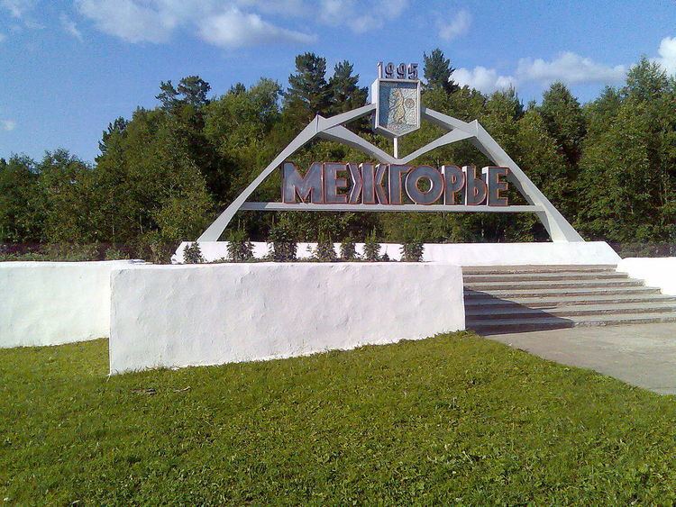
Mezhgorye (Russian: Межго́рье; Bashkir: Межго́рье) is a closed town in the Republic of Bashkortostan, Russia, located in the southern Ural Mountains near Mount Yamantau, about 200 kilometers (120 mi) southeast of Ufa, the capital of the republic, on the banks of the Maly Inser River (a tributary of the Kama River). Population: 17,352 (2010 Census); 19,082 (2002 Census).
Contents
- Map of Mezhgorye Republic of Bashkortostan Russia 453540
- History
- Administrative and municipal status
- References
Map of Mezhgorye, Republic of Bashkortostan, Russia, 453540
Mezhgorye is home to two Russian military battalions that serve a secret nuclear missile base. It has been reported that the ballistic missiles stationed there are capable of being automatically, and remotely triggered if sensors detect a nuclear strike.
History
Founded around 1979, it was known as Ufa-105 (Уфа́-105) and Beloretsk-16 (Белоре́цк-16). Town status was granted to it in 1995, at which time it was given its present name.
Administrative and municipal status
Within the framework of administrative divisions, it is incorporated as the closed administrative-territorial formation of Mezhgorye—an administrative unit with the status equal to that of the districts. As a municipal division, the closed administrative-territorial formation of Mezhgorye is incorporated as Mezhgorye Urban Okrug.
The closed status of Mezhgorye means that in administrative terms it is subordinated directly to the federal government of Russia. The town comprises two microdistricts (former settlements), located 23 kilometers (14 mi) apart: Tatly (Татлы) and Solnechny (Со́лнечный) (formerly called Kuzyelga (Кузъелга)).
