
Length 1,302 km | ||
 | ||
North end: US 57 at Piedras Negras, Coahuila | ||
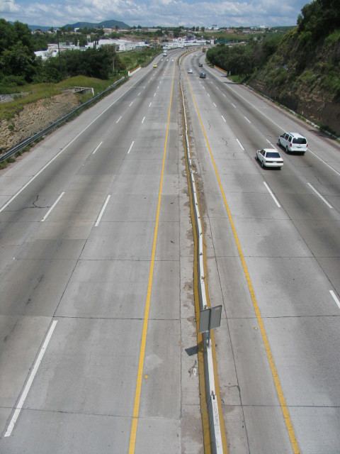
Mexican Federal Highway 57 (Carretera Federal 57) is a Federal Highway of Mexico.
Contents
- Map of MC3A9xico 57 Mexico
- Coahuila
- Nuevo Len
- San Luis Potos
- Guanajuato
- Quertaro
- State of Mexico
- Hidalgo
- Federal District
- References
Map of M%C3%A9xico 57, Mexico
The 1301.83 km (808.92 mi) highway connects Mexico City with Piedras Negras, Coahuila. This road links many major highways in the country, forming the backbone of the road network in Mexico. In the eastern Mexican Plateau, (the western foothills of Sierra Madre Oriental), FH 57 connects San Luis Potosí in the south to Monclova, and points north. The road passes through the following states and cities:
Coahuila
Nuevo León
San Luis Potosí
Guanajuato
Querétaro
State of Mexico
Hidalgo
State of Mexico
Federal District
Note: As highway 57-D, Autopista Chamapa-La Venta skirts the western edge of Greater Mexico City through the State of Mexico and the western Federal District.
References
Mexican Federal Highway 57 Wikipedia(Text) CC BY-SA