Population (2015) 857 Founded 24 April 1950 | Founded by Beitar members Name meaning Beitar Gateway Local time Monday 11:28 AM | |
 | ||
Weather 12°C, Wind SW at 19 km/h, 72% Humidity | ||
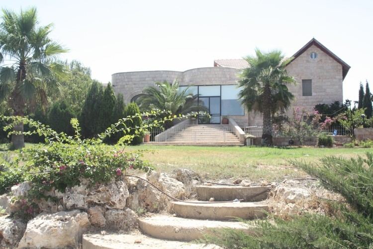
Mevo Beitar (Hebrew: מְבוֹא בֵּיתָר, lit. Beitar Gateway) is a moshav shitufi in central Israel. Located ten kilometres south-west of Jerusalem in the Jerusalem corridor, it falls under the jurisdiction of Mateh Yehuda Regional Council. In 2015 it had a population of 857.
Contents
Map of Mevo Beitar, Israel
History
The village was established on 24 April 1950 by native Israelis and immigrants from Argentina who were members of the Beitar movement, including Matityahu Drobles, later a member of the Knesset. It was founded on the land of the depopulated Arab village of al-Qabu. Located around a kilometre from the Green Line, it was a border settlement until the Six-Day War.
References
Mevo Beitar Wikipedia(Text) CC BY-SA
