Time zone CET/CEST (UTC+1/+2) Area 26.59 km² Postal code 06905 Dialling code 034925 | Elevation 115 m (377 ft) Postal codes 06905 Local time Monday 10:15 AM | |
 | ||
Weather 11°C, Wind SW at 21 km/h, 82% Humidity | ||
Meuro is a village and a former municipality in Wittenberg district in Saxony-Anhalt, Germany. Since 1 July 2009, it is part of the town Bad Schmiedeberg.
Contents
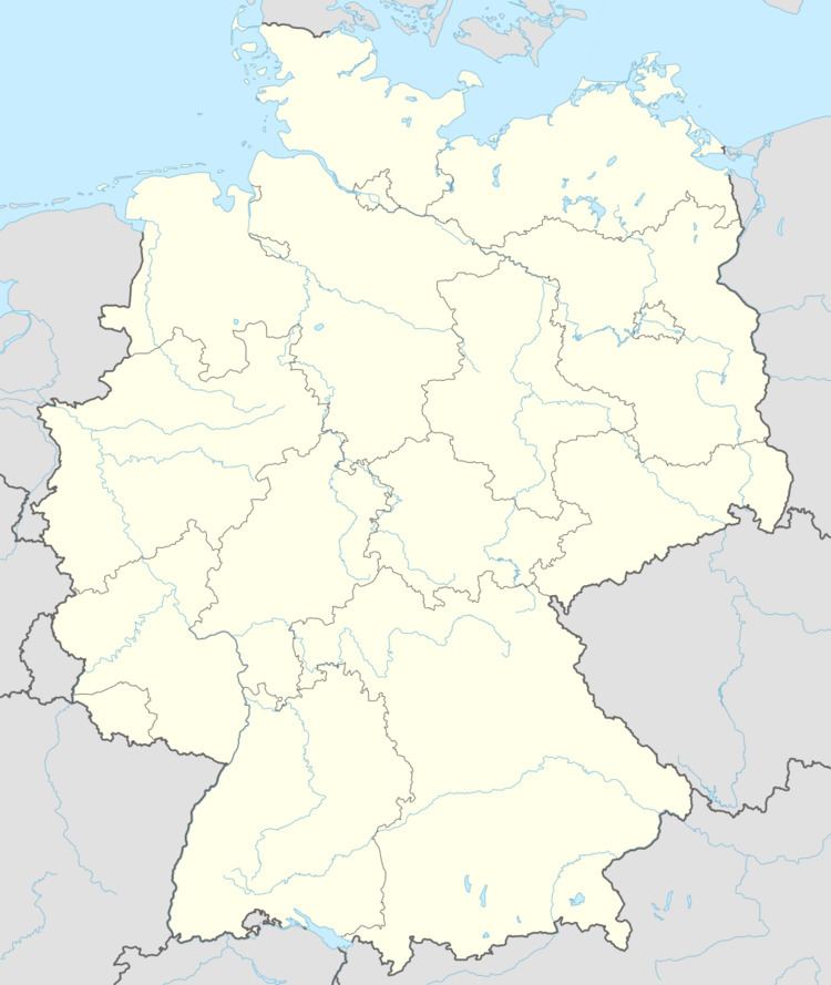
Map of Meuro, 06905 Bad Schmiedeberg, Germany
Geography and transport
Meuro lies about 20 km southeast of Lutherstadt Wittenberg and about 5 km northwest of Bad Schmiedeberg on the northern edge of the Düben Heath, putting the community's more southerly areas in the Düben Heath Nature Park. West of the community runs the Federal Highway (Bundesstraße) B 2, which joins Berlin and Wittenberg, and to the north runs the B 187. The community is also crossed by a stream called the Flieth.
Subdivisions
Meuro consists of Ogkeln, Sackwitz, and Scholis.
Sightseeing
References
Meuro Wikipedia(Text) CC BY-SA
