OS grid reference SE809251 Sovereign state United Kingdom Postcode district DN14 Dialling code 01430 | Post town GOOLE Local time Monday 1:01 AM | |
 | ||
Weather 9°C, Wind S at 10 km/h, 94% Humidity | ||
Marijuana and methamphetamine hooked illegal drugs ep 1
Metham is a hamlet in the East Riding of Yorkshire, England. It is situated approximately 4 miles (6 km) south east of Howden and 2 miles (3.2 km) west of Blacktoft. It lies 1.5 miles (2.4 km) north of the River Ouse, not far from where it flows into the River Trent and becomes the Humber.
Contents
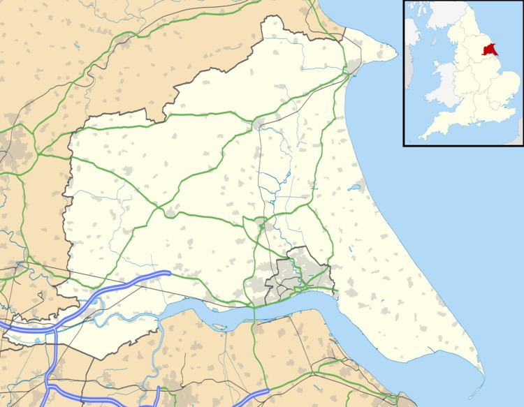
Map of Metham, Goole, UK
Metham forms part of the civil parish of Laxton.
Metham was the seat of the Metham family. A 16th-century Sir Thomas Metham, who was knighted during the reign of Queen Mary, was imprisoned under Queen Elizabeth I for practising the Roman Catholic faith, and died at York Castle in 1573. A 17th-century Sir Thomas Metham died at the Battle of Marston Moor during First English Civil War. In the battle he served for Charles I as captain of the Yorkshire gentlemen volunteers.
In 1823 Metham was a village in the civil parish of Howden, and the Wapentake of Howdenshire. The village is about 1 mile (1.6 km) from a Roman military highway, Roman pottery and other artifacts have been found nearby. Metham population in 1823 was 45, and included one farmer; two gentlemen, one of whom lived at Metham Hall; and two yeomen, one of whom lived at 'Bishopsoil'.
The early 19th-century Metham Hall is on Metham Lane, and is a Grade II listed building. A Grade II listed farmhouse (c. 1800), attached to Metham Hall, is 70 yards (64 m) to its north-west.
