
Lowest elevation 775 m (2,543 ft) Postal code 500 06 | Highest elevation 900 m (3,000 ft) Time zone EET (UTC+2) Area code(s) +30-2463-xxx-xxx Regional unit Kozani | |
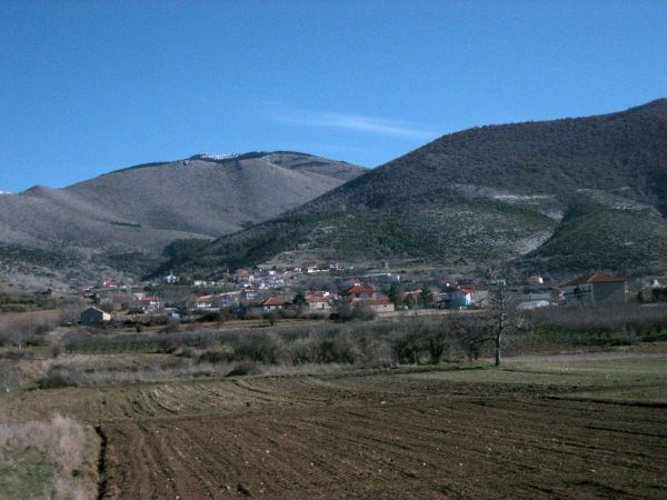 | ||
Mesovouno (Greek: Μεσόβουνο), known before 1927 as Karmishta (Greek: Κρίμσια), is a village and a community of the Eordaia municipality. Before the 2011 local government reform it was part of the municipality of Vermio, of which it was a municipal district. The 2011 census recorded 407 inhabitants in the village.
Contents
Map of Mesovouno 500 06, Greece
History
In October 1941 and April 1944, during the Axis occupation of Greece, the Wehrmacht perpetrated the Mesovouno massacres in the village. A total of 268 civilians were killed.
References
Mesovouno Wikipedia(Text) CC BY-SA