
Country United States Time zone Eastern (EST) (UTC-5) Elevation 87 m Population 1,256 (2010) | State New York FIPS code 36-46750 Area 115 ha Area code 845 | |
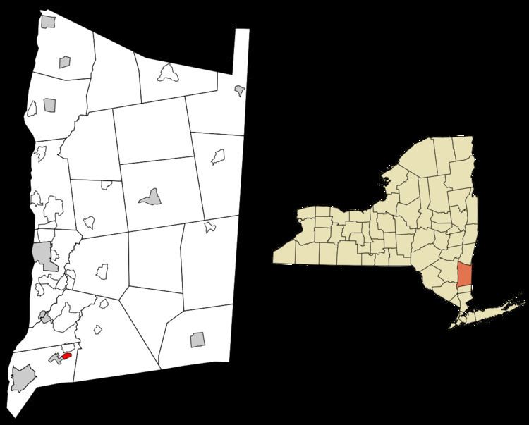 | ||
Merritt Park is a census-designated place (CDP) in the town of Fishkill, New York. As of the 2010 census it had a population of 1,256.
The CDP is located in the eastern part of the town of Fishkill in southwestern Dutchess County. It is bordered to the west by the village of Fishkill, to the north by Fishkill Creek, to the southeast by 904-foot (276 m) Honness Mountain, and to the northeast by New York State Route 52. Merritt Boulevard is the main thoroughfare through the community, connecting NY 52 to the northeast with U.S. Route 9 in the southern part of Fishkill village.
According to the U.S. Census Bureau, the Merritt Park CDP has a total area of 0.44 square miles (1.15 km2), all of it land.
References
Merritt Park, New York Wikipedia(Text) CC BY-SA