
Postcode(s) 3496 Murray-Sunset Murray-Sunset | Postal code 3496 | |
 | ||
Location 560 km (348 mi) from Melbourne58 km (36 mi) from Mildura11 km (7 mi) from Karawinna7 km (4 mi) from Pirlta | ||
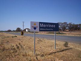
Merrinee is a locality situated in the Sunraysia region. The place by road, is situated about 7 kilometres west from Pirlta and 11 kilometres east from Karawinna on the Red Cliffs-Meringur Road.
Map of Merrinee VIC 3494, Australia
The Morkalla railway line opened on 10 April 1924 with a goods, grain and passenger siding, followed by the Post Office on 30 May 1924. The railway closed by 1988.
The area of the locality contains a number of previous localities which existed when the population was larger, namely Thurla 34°22′S 142°06′E which had a post office open from 1925 until 1940, Benetook 34°22′00″S 142°00′00″E with a post office from 1925 until 1946 and Pirlta 34°21′55″S 141°53′59″E with a post office from 1911 until 1961.
References
Merrinee, Victoria Wikipedia(Text) CC BY-SA