
- left Daylight Creek - elevation 230 m (755 ft) Length 19 km Basin area 60.5 km² | - right Wombat Creek - location Disaster Bay Area 10 ha Source Mount Nadgee | |
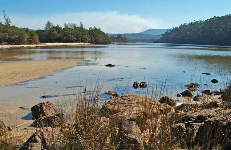 | ||
Nadgee dreaming greenglade to merrica river
The Merrica River is an intermediate intermittently closed saline coastal lagoon or perennial river located in the South Coast region of New South Wales, Australia.
Contents
- Nadgee dreaming greenglade to merrica river
- Map of Merrica River Nadgee NSW Australia
- Kayaking on merrica river
- Course and features
- References
Map of Merrica River, Nadgee NSW, Australia
Kayaking on merrica river
Course and features
Merrica River rises on the northern slopes of Mount Nadgee within the Nadgee Nature Reserve; located about 9 kilometres (5.6 mi) southwest of Tumbledown Mountain. The river flows generally northeast before reaching its mouth with the Tasman Sea of the South Pacific Ocean, emptying into Disaster Bay. The river descends 230 metres (750 ft) over its 19 kilometres (12 mi) course.
The catchment area of the river is 60.5 square kilometres (23.4 sq mi) with a volume of 48.5 megalitres (1.71×10^6 cu ft) over a surface area of 0.1 square kilometres (0.039 sq mi), at an average depth of 0.4 metres (1 ft 4 in).