
Charter 1639 Municipal tax rate 19.5% | Time zone EET (UTC+2) Local time Sunday 11:52 AM | |
 | ||
Area rank 194th largest in Finland Weather 2°C, Wind N at 6 km/h, 63% Humidity | ||
Merikarvia (Swedish: Sastmola) is a municipality of Finland.
Contents
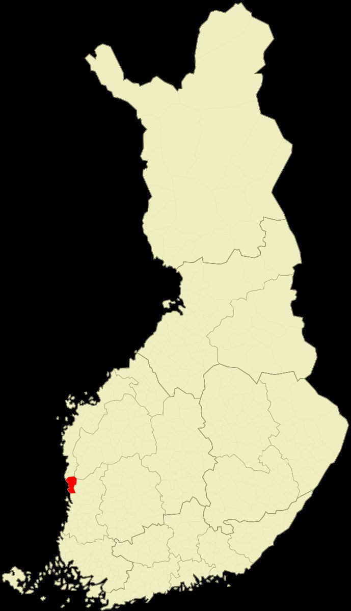
Map of 29900 Merikarvia, Finland
It is located in the Satakunta region. The neighboring municipalities are Isojoki, Kristiinankaupunki, Pomarkku, Pori and Siikainen.
The municipality has a population of 3,178 (31 March 2016) and it covers an area of 446.08 square kilometres (172.23 sq mi), of which 800.2 km2 (309.0 sq mi) is water. The population density is 7.12 inhabitants per square kilometre (18.4/sq mi).
The municipality is unilingually Finnish. The coastline was formerly Swedish-speaking. Merikarvia is known by the Oura Archipelago, which is part of the Bothnian Sea National Park.
History
The area has been inhabited since as early as 1800 BC. There are grave sites from the Bronze and Iron Ages within the municipality. Most of the cairns are located in Tuorila village located east of the municipal center.
The birth of the earliest villages in Merikarvia - Kasala, Riispyy, Ala- and Yli-Kylä, and Köörtilä - is dated to between the 13th and 14th centuries. As a separate municipality, Merikarvia has existed since 1865.
The first church in Merikarvia was built in 1776 and was named after the queen consort of Sweden at the time, Sofia Magdalena. The church, still in use today, was finished in 1899.
As a coastal municipality, Merikarvia largely lived from the sea until modern times. Fishing, sawmills and shipyards were common businesses until the end of the 19th century.
Politics
Results of the Finnish parliamentary election, 2011 in Merikarvia: