
 | ||
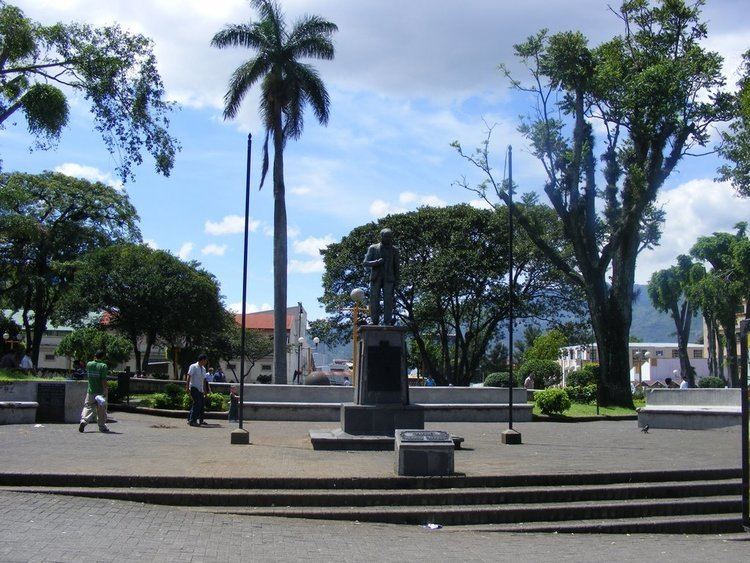
Merced District, the second "distrito" of San José Canton, in Costa Rica, is one of the four administrative units that form San José downtown properly. This division is merely commercial, but covers an important part of "josefino" life and activities.
Contents
Map of Merced District, San Jos%C3%A9, Costa Rica
Geography and Demography
Merced District lies in the north of the canton, limiting only with Tibás Canton from San José Province to the north, and with the districts of Uruca to the north, Mata Redonda to the west, Hospital to the south, and Uruca and El Carmen "distritos" to the east, all of them from the same canton of San José. The district had 2.29 km² and 15,368 inhabitants on December 31, 2008 (6,710.92 inhabitants per km²).
District Information
This district comprehend several "barrios" or neighbourhoods, like Bajos de la Unión, Claret, Cocacola, Iglesias Flores, Mantica, Barrio México, Paso de la Vaca y Pitahaya. In the territory there is a lot of banks, public institutions and popular markets. Its main landmark is the Costa Rican Center of Science and Culture, one of the main institutions of Costa Rican culture.