Samiksha Jaiswal (Editor)

Mentque Nortbécourt

Updated on
Edit
Like
Comment
Share on FacebookTweet on TwitterShare on LinkedInShare on Reddit
Country
  
Department
  
Intercommunality
  
Pays de Saint-Omer

Area
  
10.78 km²

Population
  
449 (1999)

Region
  
Canton
  
Ardres

Time zone
  
CET (UTC+1)

Local time
  
Sunday 4:00 AM

Arrondissement
  
Mentque-Nortbécourt

Weather
  
10°C, Wind SW at 31 km/h, 96% Humidity

Famille victime de ph nom nes occultes a mentque nortbe court en france


Mentque-Nortbécourt is a commune in the Pas-de-Calais department in the Hauts-de-France region of France.

Contents

Map of 62890 Mentque-Nortb%C3%A9court, France

Geography

Mentque-Nortbécourt lies about 8 miles (13 km) northwest of Saint-Omer, at the junction of the D221 and D220 roads. The two villages were joined as one commune in 1819.
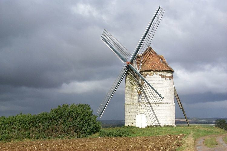
Places of interest

  • The Nortbécourt or Lebriez windmill was built on limestone rubble foundations in 1714, according to an inscription on a stone inside the tower. In 1897, it became the property of Alphonse Lebriez, who was the miller until the cessation of activity in 1950. In 1964, Michel Hoyez bought the mill and saved it from ruin. It has been included in the inventory of Historic Monuments since 1977. The sails were rebuilt in December 1981 but remain fixed and cannot rotate. One of them was hit by lightning.
  • The church of St. Wandrille at Nortbécourt, dating from the twelfth century.
  • The Château of Inglinghen.
  • The church of St.Leger at Mentque, dating from the thirteenth century.
  • The remains of a feudal motte of 25m diameter.
  • References

    Mentque-Nortbécourt Wikipedia


    Similar Topics