
Country United States FIPS code 01-48064 Elevation 529 m Population 364 (2013) Area code 256 | Time zone Central (CST) (UTC-6) GNIS feature ID 0150377 Zip code 35984 Local time Saturday 9:54 PM | |
 | ||
Weather 12°C, Wind N at 16 km/h, 31% Humidity Area 12.12 km² (12.1 km² Land / 3 ha Water) | ||
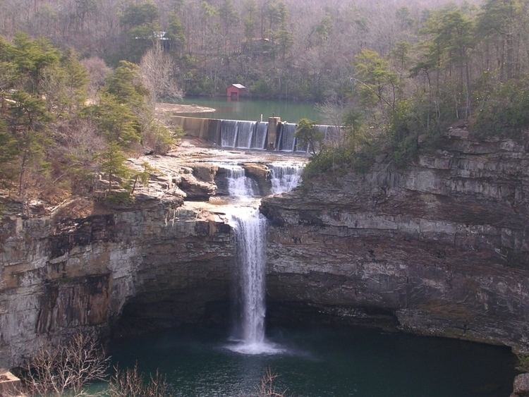
Mentone alabama
Mentone is a town in DeKalb County, Alabama, United States. It incorporated in 1935. As of the 2010 census the population was 360, down from 451 in 2000. Mentone, located atop Lookout Mountain, has the highest elevation of any incorporated town in Alabama, narrowly over Hytop.
Contents
- Mentone alabama
- Map of Mentone AL USA
- Waterfront cabin in mentone alabama
- History
- Geography
- Demographics
- References
Map of Mentone, AL, USA
Waterfront cabin in mentone alabama
History
The community was named after Menton in France. A number of private summer camps are located near Mentone.
In April 2003, it was the town nearest the epicenter of a magnitude 4.6 earthquake. The surprise quake alarmed residents in the dark hours of the morning and was felt across several states, but caused no injuries and only minor damage even in the town. Mentone is in the Ridge and Valley region of the southwestern Appalachian Mountains, an area that generally goes several decades between significant earthquakes, and has never had a major one in recorded history.
For a number of years, the Mentone area hosted an unusually large number of summer camps.
Geography
Mentone is located in eastern DeKalb County at 34°34′20″N 85°34′49″W (34.572360, -85.580283). It is bordered to the west by the town of Valley Head. The center of town is located on the crest of Lookout Mountain at an elevation of 1,736 feet (529 m). The western border of the town, with Valley Head, follows the western slopes of the mountain. Extending south from the town center, the mountain's ridgecrest rises to an elevation of 1,785 feet (544 m) within the town limits. The West Fork of the Little River crosses the eastern portion of the town at an elevation less than 100 feet (30 m) below the ridgecrest.
According to the U.S. Census Bureau, the town has a total area of 4.7 square miles (12.1 km2), of which 0.01 square miles (0.03 km2), or 0.23%, is water.
Demographics
As of the census of 2000, there were 451 people, 201 households, and 127 families residing in the town. The population density was 95.8 people per square mile (37.0/km²). There were 350 housing units at an average density of 74.3 per square mile (28.7/km²). The racial makeup of the town was 95.34% White, 1.11% Black or African American, 0.67% Native American, and 2.88% from two or more races. 0.22% of the population were Hispanic or Latino of any race.
There were 201 households out of which 25.9% had children under the age of 18 living with them, 49.3% were married couples living together, 7.5% had a female householder with no husband present, and 36.8% were non-families. 33.8% of all households were made up of individuals and 16.4% had someone living alone who was 65 years of age or older. The average household size was 2.23 and the average family size was 2.87.
In the town, the population was spread out with 23.1% under the age of 18, 7.1% from 18 to 24, 21.3% from 25 to 44, 27.9% from 45 to 64, and 20.6% who were 65 years of age or older. The median age was 44 years. For every 100 females there were 90.3 males. For every 100 females age 18 and over, there were 86.6 males.
The median income for a household in the town was $24,625, and the median income for a family was $28,750. Males had a median income of $27,411 versus $17,656 for females. The per capita income for the town was $13,561. About 13.5% of families and 12.2% of the population were below the poverty line, including 10.0% of those under age 18 and 14.0% of those age 65 or over.