
GNIS ID 413409 | Length 22 km Country United States of America | |
 | ||
Main source Grant County, Wisconsin796 ft (243 m) Progression Menominee River → Mississippi → Gulf of Mexico | ||
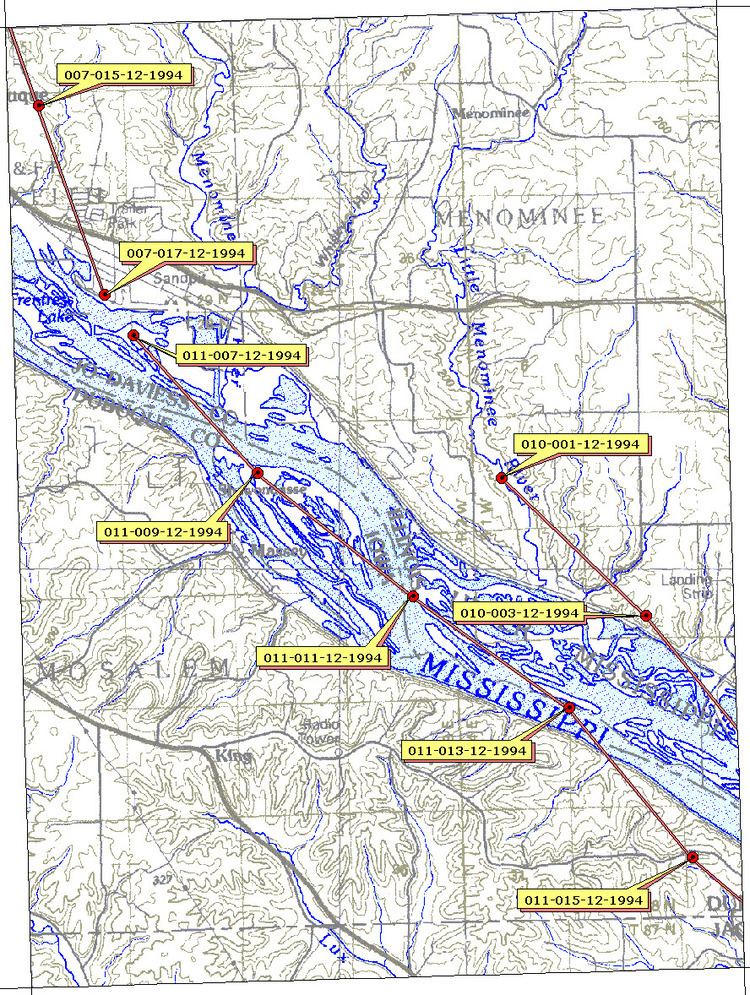
The Menominee River is an 11.3-mile-long (18.2 km) tributary of the Mississippi River, which it joins in Jo Daviess County, Illinois. There is also a Menominee River in northeastern Wisconsin and Michigan, and a Menomonee River that flows through metro Milwaukee.
Map of Menominee River, Dunleith Township, IL, USA
The name "Menominee" refers to the Menominee, a Native American people. The name means "good seed" or "wild rice".
The Menominee rises in Grant County, Wisconsin, and cuts through the northwestern corner of Illinois for about four miles before it joins the Mississippi.
The river is part of the Driftless Area of Illinois and Wisconsin, a region that remained ice-free during the last ice age.
References
Menominee River (Illinois) Wikipedia(Text) CC BY-SA