
Quadrant NW Sector Southeast Elevation 695 m | Ward 11 Area 66 ha Population 1,972 (2012) | |
 | ||
AreaCommunity Mill WoodsMill Woods Town Centre Restaurants South Szechuan Pak Lok, Phil Up Eatery, PrimeTime Donair & Kabab, Ricky's All Day Grill & RG's Lou, Tim Hortons | ||
Tawa is a residential neighbourhood in the Mill Woods area of south Edmonton, Alberta, Canada. It is a newer neighbourhood, with most of the development occurring in the early 1990s. The Grey Nuns Community Hospital is located in the neighbourhood as is the Edmonton Police Service's South East Division Station.
Contents
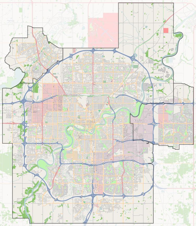
Map of Tawa, Edmonton, AB, Canada
Tawa is bounded on the north by 34 Avenue, on the south by 28 Avenue, on the west by 66 Street, and on the east by 50 Street.
Demographics
In the City of Edmonton's 2012 municipal census, Tawa had a population of 7003197200000000000♠1,972 living in 7002995000000000000♠995 dwellings, a 0.6% change from its 2009 population of 7003196100000000000♠1,961. With a land area of 0.66 km2 (0.25 sq mi), it had a population density of 7003298790000000000♠2,987.9 people/km2 in 2012.
Residential development
One out of three (34%) of residences in Tawa are apartments, with the total number of apartments being split equally between walk up structures with fewer than five stories and high rise structures with five or more stories. Another one in three residences (34%) are duplexes. One in five residences (22%) are row houses. A significant number of residences (12%) are part of collective residences. There is a handful of single-family dwellings. Approximately three out of every four residences are owner-occupied, with the remainder being rented.
The average household in Tawa has 2.3 people, with two out of three households having either one or two persons.
Household income
Incomes in the neighbourhood are slightly below the city average.