
Canton Nérondes Area 28.93 km² | Population (2008) 342 Local time Sunday 1:33 AM | |
 | ||
Weather 10°C, Wind W at 14 km/h, 85% Humidity | ||
Menetou-Couture is a commune in the Cher department in the Centre region of France.
Contents
Map of 18320 Menetou-Couture, France
Geography
An area of lakes and streams, forestry and farming comprising the village and several hamlets, situated by the banks of the small river Liseron, some 22 miles (35 km) east of Bourges, at the junction of the D12 with the D189 and the D48 roads.
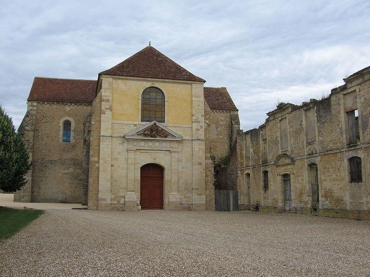
Historic sites
References
Menetou-Couture Wikipedia(Text) CC BY-SA