
 | ||
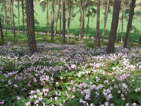
The Menashe Heights (Hebrew: רָמַת מְנַשֶּׁה, Ramat Menashe, lit. Menashe Height) is a geographical region in northern Israel, located on the Carmel Range, between Mount Carmel and Mount Amir/Umm al-Fahm. While it is part of the mountain range, it is actually just 200 m above sea level on average, and peaks at 400 m. The plateau is bordered by the Jezreel Valley to the northeast, the Yokne'am Stream to the northwest, Wadi Ara to the southeast, and the Nadiv Valley to the southwest. Ramat Menashe is called Balad ar-Ruha in Arabic, meaning "Land of Winds".
Contents
Map of Plain of Manasseh
The Menashe Heights, known also as Ramot Menashe, was officially added to UNESCO's World Network of Biosphere Reserves in 2011. The region was credited with encompassing "a mosaic of ecological systems that represent the Mediterranean Basin's version of the global evergreen sclerophyllous forests, woodlands and scrub ecosystem types."
Localities
The following localities are located on the Menashe Heights: