
Length 14 km | Location Calgary East end Abbeydale Drive | |
 | ||
Majorjunctions Centre StreetEdmonton Trail Deerfoot Trail (Hwy 2)Barlow Trail | ||
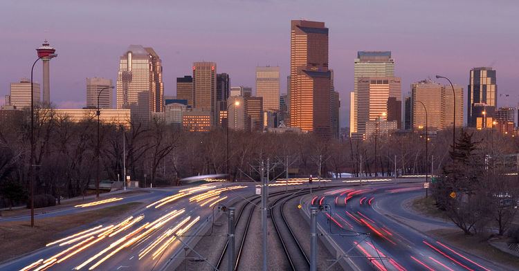
Memorial Drive (formerly Sunnyside Boulevard) is a major road in Calgary, Alberta. Besides having an important role in city infrastructure, the tree lined sides of Memorial Drive serve as a living testament to the many soldiers who died during World War I and give it a parkway look on the western section. An active path system also runs along the south side of Memorial Drive, beside the banks of the Bow River. The Calgary Soldiers' Memorial will form part of an extensive renovation to Memorial Drive, which will heighten the function of the road as a monument to the city's military. The Landscape of Memory Project began in 2004, in order to revitalize a nine kilometre stretch of the road.
Memorial Drive officially begins at an interchange with Crowchild Trail in the northwest, serving as an eastern extension of Parkdale Boulevard (which, along with 3 Avenue NW, is an extension of the arterial connector Bowness Road), though the signage at 16 Avenue NW shows eastbound Bowness Road as Memorial Drive. The road continues east as a divided parkway until it passes the dual-intersection with 4th Street NE and Edmonton Trail at which point it becomes a freeway until Deerfoot Trail (at which point it downgrades to an at-grade expressway). (Westbound traffic is offered a flyover into downtown at the 4th/Edmonton intersection. At this point the C-Train runs along the median of the split road, beginning with the Bridgeland/Memorial Station. After passing Barlow Trail, the road downgrades to a major arterial with the C-Train turning north along 36th Street/Métis Trail after the Franklin Station. Memorial is then downgraded to traffic signalized intersections and continues east to 68th Street N.E., where it downgrades once again to a residential street for its last few blocks to its present terminus at Abbeydale Drive.
City planners have made provisions for Memorial Drive to eventually connect with Stoney Trail. East of 36th Street, Memorial Drive serves as the boundary between the Northeast and Southeast quadrants of the city.
Major intersections
From west to east. The entire route is in Calgary.