
Time zone IST (UTC+5:30) Local time Saturday 3:48 PM | Talukas Meliaputti PIN 532215 | |
 | ||
Weather 34°C, Wind S at 16 km/h, 44% Humidity | ||
Venugopalaswamy or radhagovindaswamy temple meliaputti
Meliaputti or Meliyaputti is a village and a Mandal in Srikakulam district in the state of Andhra Pradesh in India. Meliaputti mandal is bordered by Palasa, Nandigam, Tekkali and Pathapatnam mandals of Srikakulam district, and by Odisha state to the North.
Contents
- Venugopalaswamy or radhagovindaswamy temple meliaputti
- Map of Meliaputti Andhra Pradesh
- Geography
- Demographics
- References
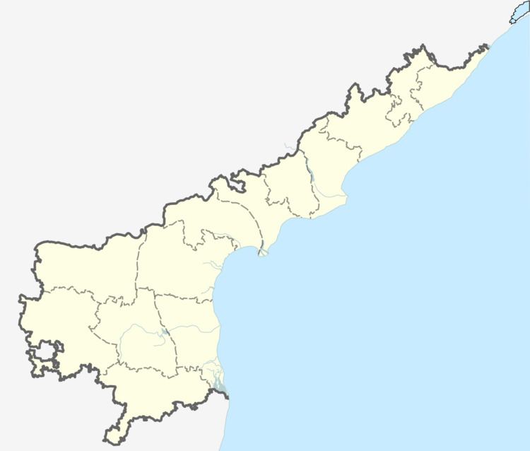
Map of Meliaputti, Andhra Pradesh
Geography
Meliyaputti is located at 18.7667°N 84.1667°E / 18.7667; 84.1667. It has an average elevation of 74 meters (246 feet). River Mahendra tanaya flows besides the village.
Demographics
As of 2001 Indian census, the demographic details of Meliaputti mandal is as follows:
References
Meliaputti Wikipedia(Text) CC BY-SA