Population 8,409 (2001) | Time zone IST (UTC+5:30) Local time Saturday 1:47 PM | |
 | ||
Weather 35°C, Wind SE at 6 km/h, 46% Humidity | ||
Melathiruppanthuruthi is a panchayat town in Thanjavur district in the Indian state of Tamil Nadu.
Contents
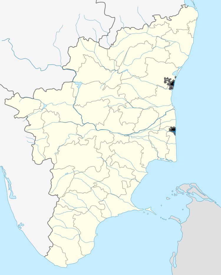
Map of Melathiruppanthuruthi, Tamil Nadu
Demographics
As of 2001 India census, Melathiruppanthuruthi had a population of 8409. Males constitute 48% of the population and females 52%. Melathiruppanthuruthi has an average literacy rate of 72%, higher than the national average of 59.5%: male literacy is 78%, and female literacy is 66%. In Melathiruppanthuruthi, 13% of the population is under 6 years of age.
Geographic
Melathiruppanthuruthi is located in latitude and longitude of 10.865887,79.079075. keela thiruppanthruthi in the east and Thiruvalam pozhil in the west side.
Schools
- Government higher secondary school
- Elementary school
- Crescent Nursery and primary school
- Mahatma Nursery and primary school
Soil
Melathiruppanthuruthi is situated in the bank of Kudamurutti river, a tributary of the Kaveri, is one of the five sacred rivers flows in Thiruvaiyaru Thanjavur District. Soil is fertile and highly suited for cultivation. Most of the population are depend upon farming. Land is suitable for the following crops,
- paddy
- plantain
- Sugar cane
- sesame
- maize
Near by towns
- Thanjavur-14 km
- Thiru kattupalli-15 km
- Poondi Matha Basalika-21 km
- Grand Anaikut(Kallainai)-29 km
- Thiruvaiyaru-5 km
