District Tirunelveli Time zone IST (UTC+5:30) Population 14,644 (2011) | Local time Saturday 11:24 AM | |
 | ||
Weather 33°C, Wind S at 8 km/h, 56% Humidity | ||
Melagaram is a panchayat town in Tenkasi taluk, Tirunelveli district, in the Indian state of Tamil Nadu.
Contents
- Map of Melagaram Tamil Nadu
- Demographics
- Location
- Government Offices
- Economy
- Contacts
- Temples
- Rivers Nearby
- Lakes
- References
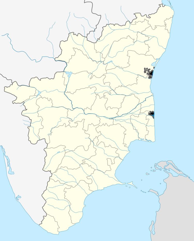
Map of Melagaram, Tamil Nadu
Demographics
In 2001, Melagaram had a population of 12,860, according to the Indian census Males constituted 49% of the population and females 51%. Melagaram had an average literacy rate of 78%, higher than the national average of 59.5%: male literacy was 84%, and female literacy was 72%. In Melagaram, 9% of the population was under 6 years of age.
By the 2011 census, the town had grown to 14,644 inhabitants.
Location
Melagaram located between Tenkasi and Coutrallam about 1 km away from Tenkasi.
Melagaram consists of Chinthamani, Bharathi Nagar, Melagaram, NGO Colony, State Bank Colony, Indira Nagar, Min Nagar, Nannagaram, Kudiyiruppu
Bharathi Nagar, NGO Colony, State Bank Colony, Indira Nagar, Min Nagar are newly developed colonies in the last 25 to 30 years.
Government Offices
Town Panchayat Office, Govt. Hr. Sec. School, Primary Health Center, Library
Economy
The first regional rural bank of Tamil Nadu, the Pandyan Grama Bank, has one of its branches at Melagaram.
Contacts
Town Panchayat 04633 - 22 22 51 Pandyan Grama Bank 04633 - 22 59 01
Temples
Vinayaka Temple (Brahmin Street) Vinayaka Temple (Nadu Street) Amman Kovil Temple (Tenkasi-Courtallam)
Rivers Nearby
Chithaar River
Lakes
Paarai Kulam (Behind Brahmin Street)
