
Built 1956 (1956) Surface area 4.26 km (1,050 acres) | Basin countries China First flooded 1956 (1956) | |
 | ||
Similar Meilin Park, Bijiashan Park, Tanglangshan Country Park, Tanglang Station, Lianhuashan Park | ||
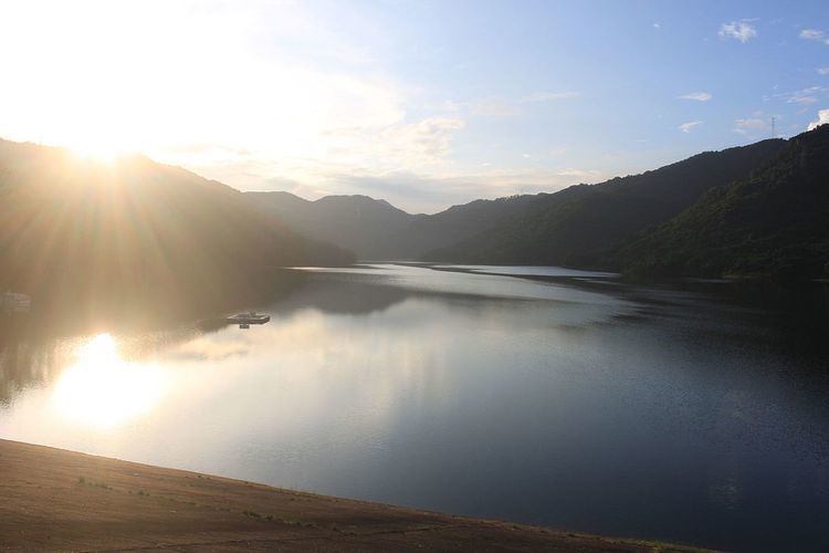
Meilin Reservoir (simplified Chinese: 梅林水库; traditional Chinese: 梅林水庫; pinyin: Meílín Shuĭkù) is a reservoir located in Futian District, in southwestern Shenzhen in the southern China. Meilin Reservoir belongs to the first grade water source protection area (一级水源保护区) and is part of Shenzhen's water supply network. It covers a total surface area of 4.26 km2 (1.64 sq mi) and has a storage capacity of some 1,309×10^6 m3 (0.314 cu mi) of water. It is surrounded by the Longding Hill (龙顶山).
Contents
Map of Meilin Reservoir, Futian, Shenzhen, China
History
The reservoir was formed in June 1956 with the name of Maxie Reservoir (马泻水库). In 1991 the Shenzhen Water Conservancy expanded the reservoir.
Climate
Meilin Reservoir is in the subtropical maritime monsoon climate zone, total annual rainfall of 1944 mm, a frost-free period of 355 days, and annual average runoff is 430 km3 (100 cu mi). It enjoys a mild climate and has plenty of rainfall and sunshine. Every year from April to September is the flood season, rainfall accounted for 84.3% of the whole year.
Public Access
The reservoir is open to public all day. It is a popular recreation area for fishing and tourism.