
Basin size 45.8 km (17.7 sq mi) Basin area 45.8 km² | Length 8 km | |
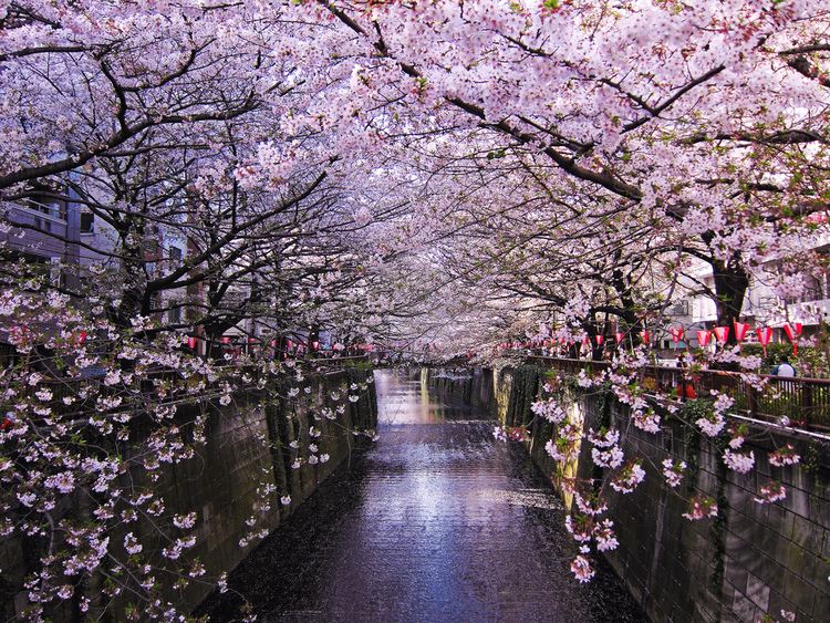 | ||
Tokyo s best cherry blossom spot meguro river
The Meguro River (目黒川, Meguro-gawa) is a river which flows through Tokyo, Japan. Its tributaries include the Kitazawa River and the Karasuyama River. The river flows into Tokyo Bay near the Tennōzu Isle Station.
Contents
- Tokyo s best cherry blossom spot meguro river
- Map of Meguro kawa 3 Chome 9 Higashishinagawa Shinagawa ku TC58DkyC58D to Japan
- Sakura cherry blossoms meguro river 2016
- References
Map of Meguro-kawa, 3 Chome-9 Higashishinagawa, Shinagawa-ku, T%C5%8Dky%C5%8D-to, Japan
The river is 7.82 km (4.86 mi) in length and passes through Setagaya, Meguro and Shinagawa wards.
The river banks are extensively landscaped and act as an urban green space for communities along its length. Close to the source of the river in Setagaya, the river is divided vertically between a large underground storm drain and surface level landscaped ornamental stream. At Ōhashi Junction where the river passes under the Route 246 and the Tōmei Expressway, the river re-emerges as a broader, surface level water channel.
The river is a popular venue for cherry blossom viewing in the spring.