
Main source Maine142 feet (43 m) Source elevation 43 m | Length 6 km Mouth Penobscot Bay | |
 | ||
River mouth West Penobscot Baysea level | ||
Flight over megunticook river camden maine
The Megunticook River is a short river in Camden, Maine.
Contents
Map of Megunticook River, Camden, ME, USA
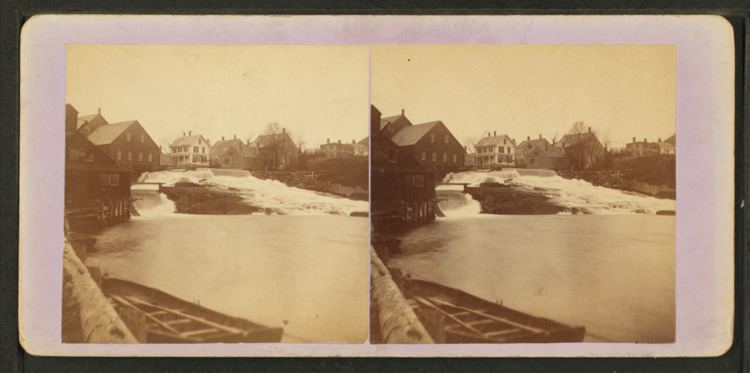
From the spillway of Megunticook Lake (44°14′06″N 69°05′59″W), the river runs 3.5 miles (5.6 km) southeast through the town to West Penobscot Bay. The upper part of the river has raised water levels due to the Seabright dam. Below the dam the river runs as a mill stream into Camden village. In 2016 the Camden select board was alerted to low water levels above Seabright. It is considering grouting cracks in the rocks supporting the dam to address the problem.
References
Megunticook River Wikipedia(Text) CC BY-SA