
Lowest elevation 0 m (0 ft) Postal code 310 83 Area 22.36 km² Area code 26450 | Highest elevation 309 m (1,014 ft) Time zone EET (UTC+2) Vehicle registration EY Island group Ionian Islands | |
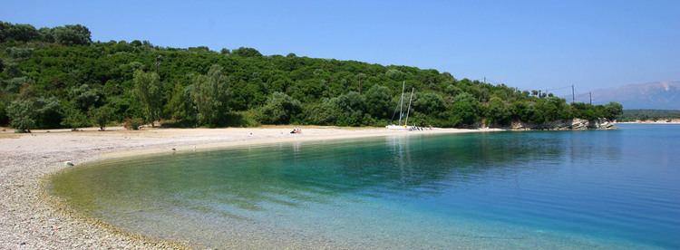 | ||
Meganisi papanikolis cave sea w greece
Meganisi (Greek: Μεγανήσι, literally "big island") is a Greek island and municipality immediately to the east-southeast of the island of Lefkada. The municipality includes the offshore islands of Skorpios (pop. 2 persons) and Sparti. The municipality has an area of 22.356 km2. Its total population was 1,041 at the 2011 census.
Contents
- Meganisi papanikolis cave sea w greece
- Map of Meganisi Greece
- Dji phantom 3 exclusive meganisi promotional video edit 1
- Municipal districts
- Islands
- References
Map of Meganisi, Greece
The island has three villages: the central village of Katomeri (pop. 492) and the ports of Vathy (145) and Spartochori (453 inhabitants). There is also a harbour at Atheni Bay used mainly by fishing boats. Meganisi is connected with Lefkada by a car ferry service from Vathy and Spartochori. Meganisi has a school, a lyceum (middle school), an ATM, churches and a few squares (plateies). The island has no secondary school, so pupils attend the nearby school in Nydri, on Lefkada.
Some researchers, including Wilhelm Dörpfeld estimate that Meganisi was the Homeric island of Krocylea, which was part of Odysseus' kingdom.